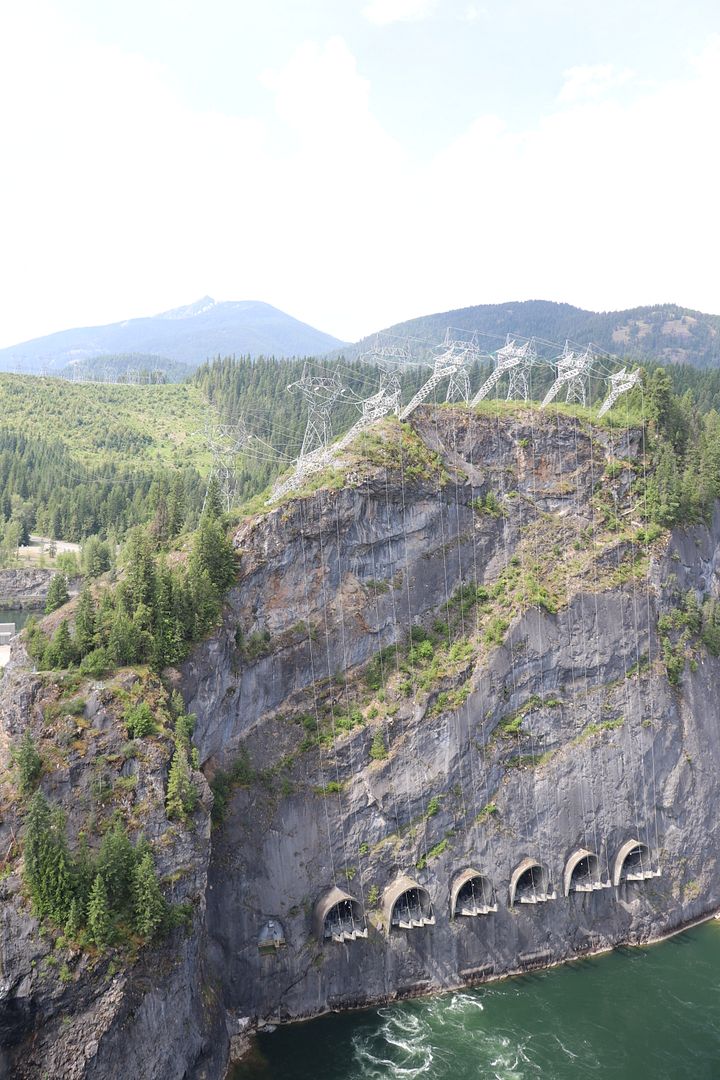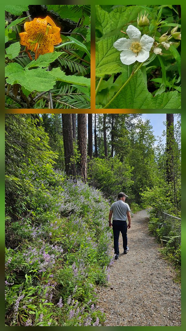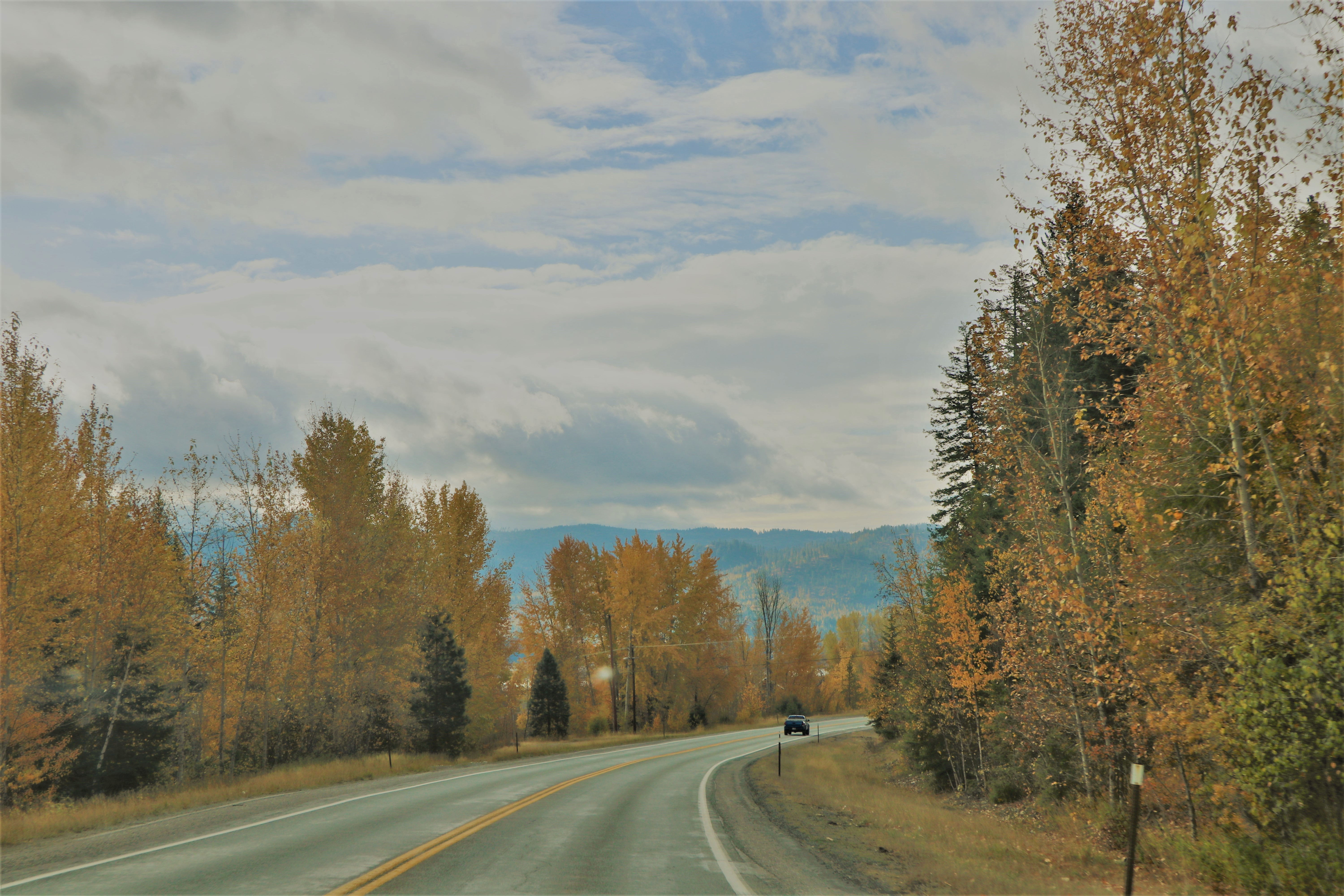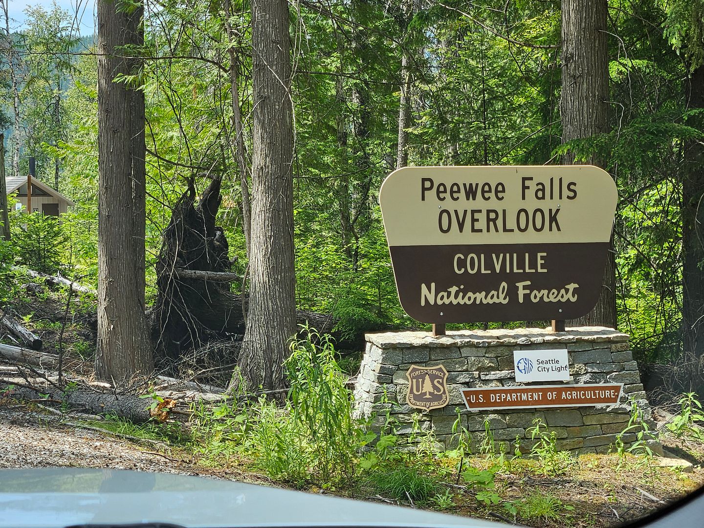
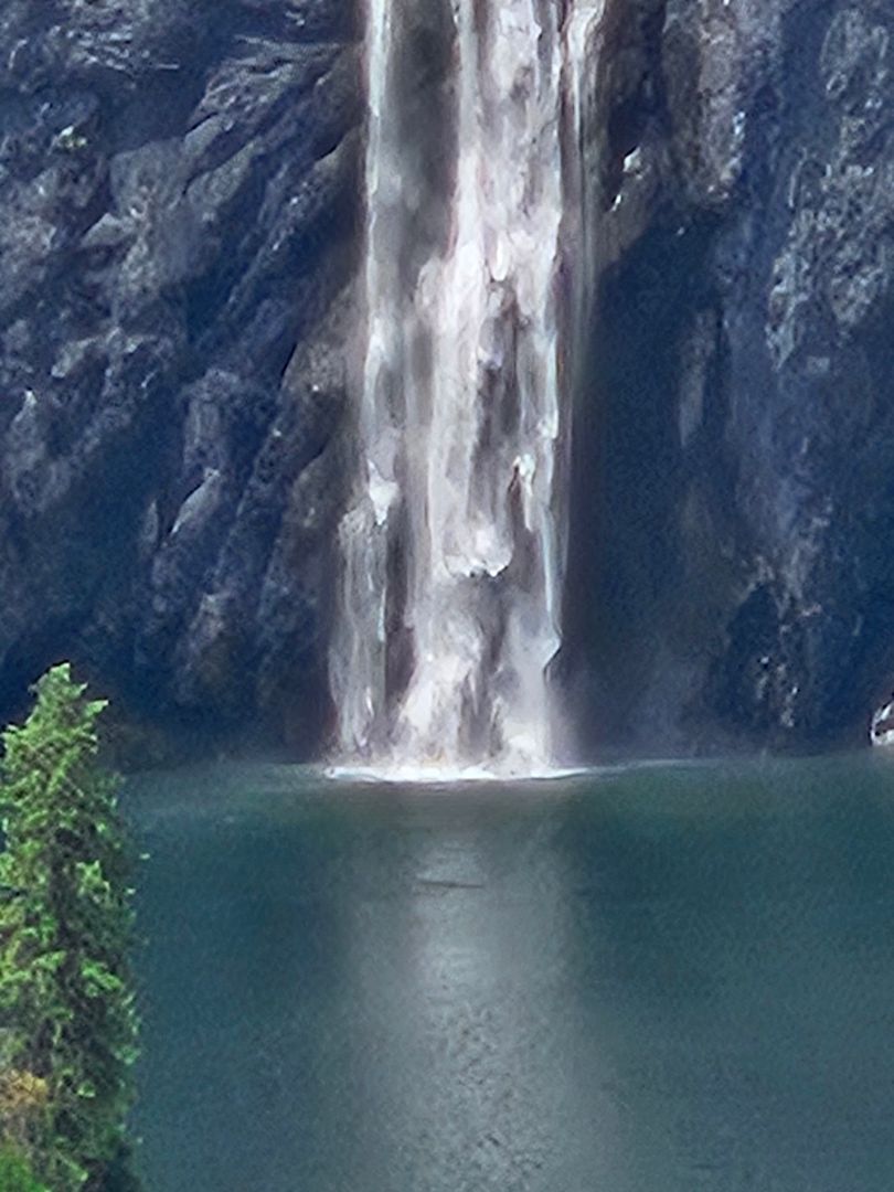
After leaving the Boundary Dam Vista House on Thursday June 12th we took a right turn off the National Development Road 3165 onto NF-325 to reach the Pee Wee Falls Overlook. It was a twisty primitive road and but before too long we were in another nice parking area with picnic tables, a nice restroom and well maintained trail to the Overlook.
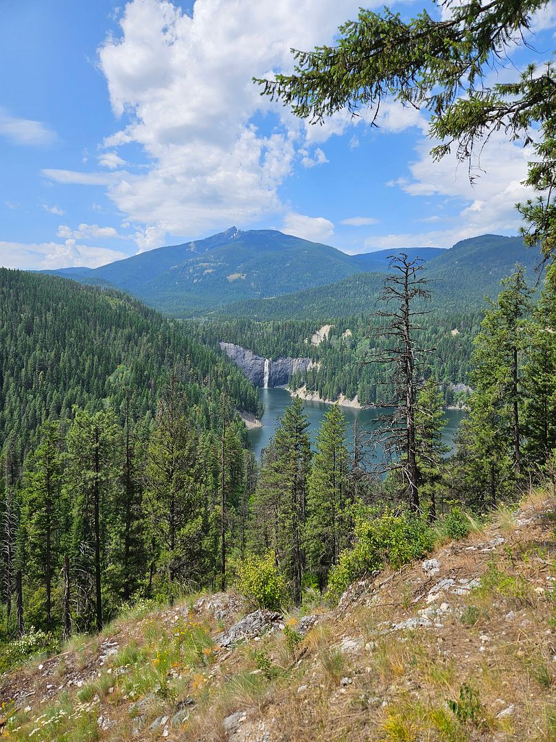
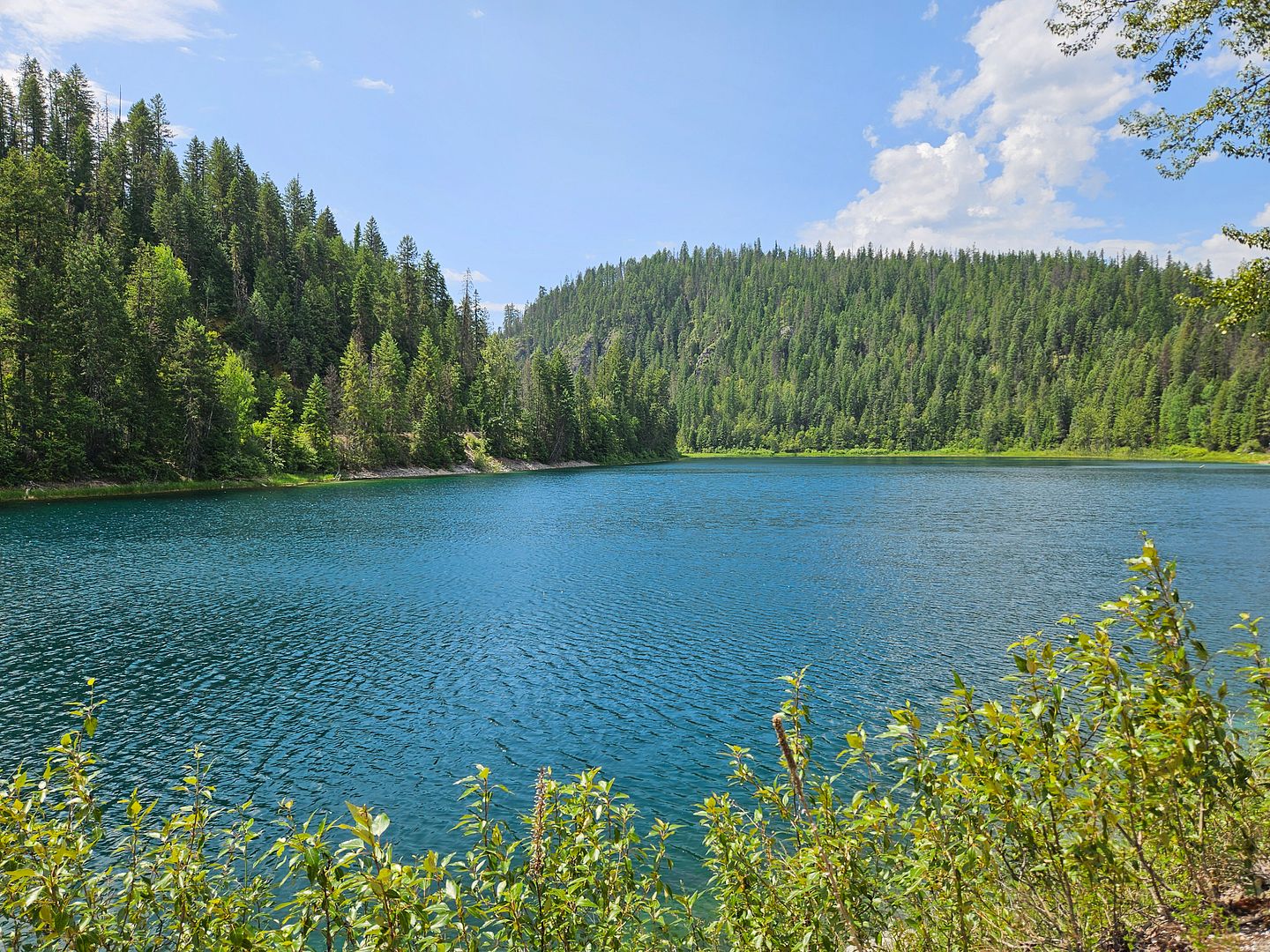
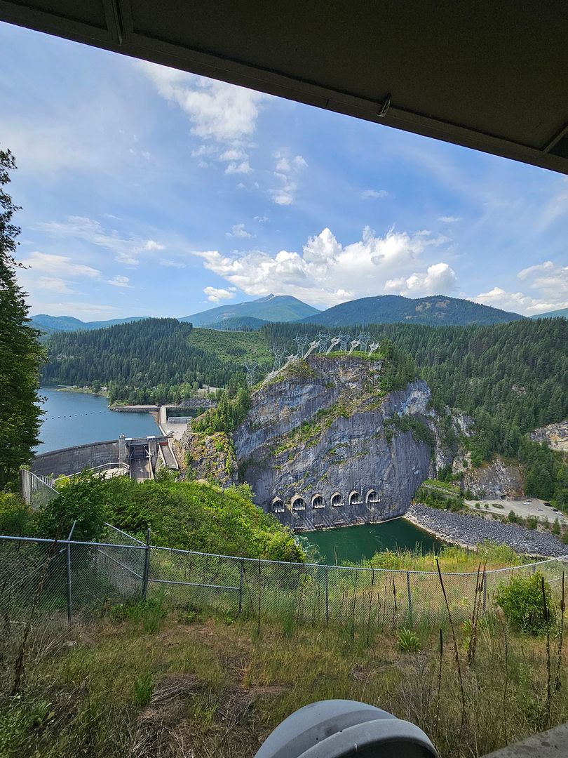
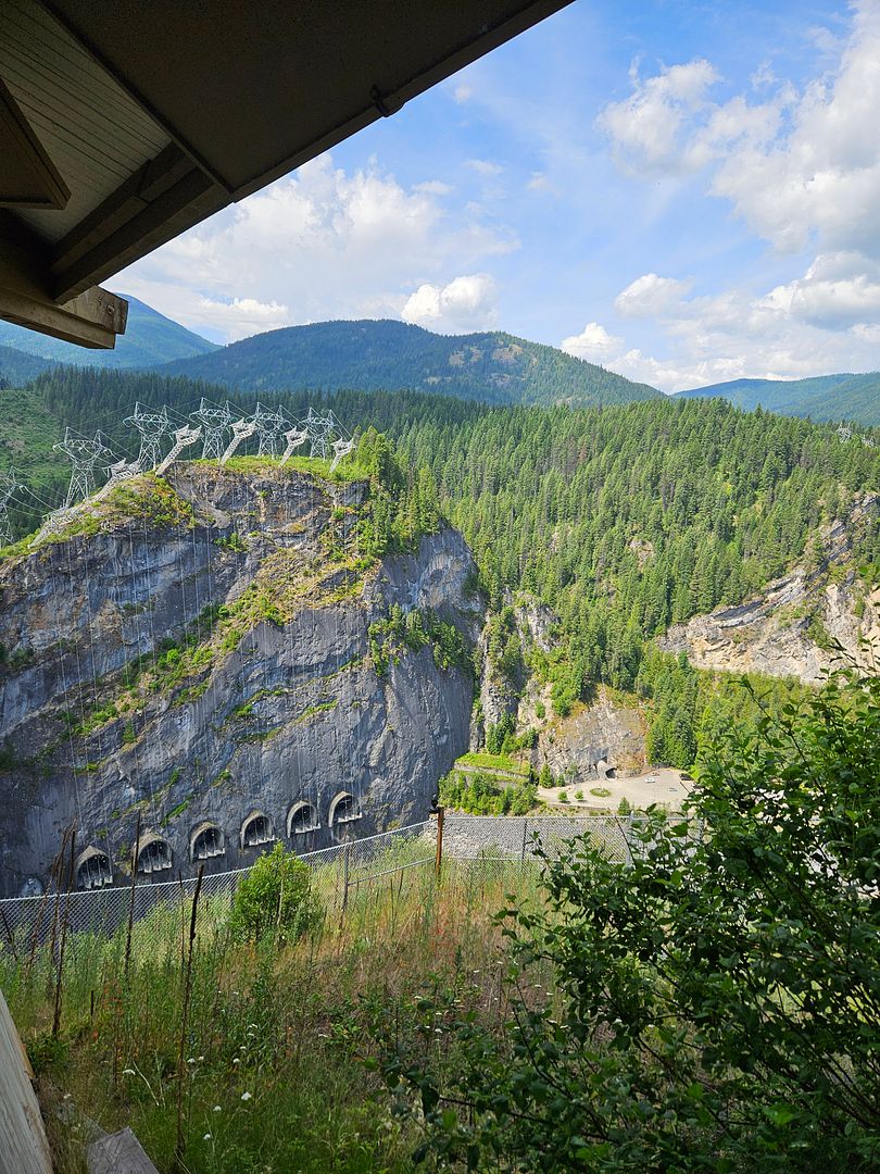
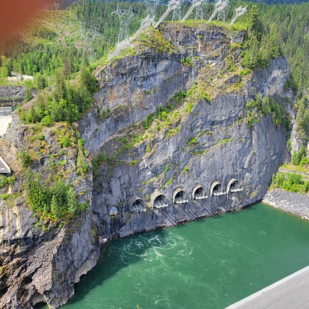
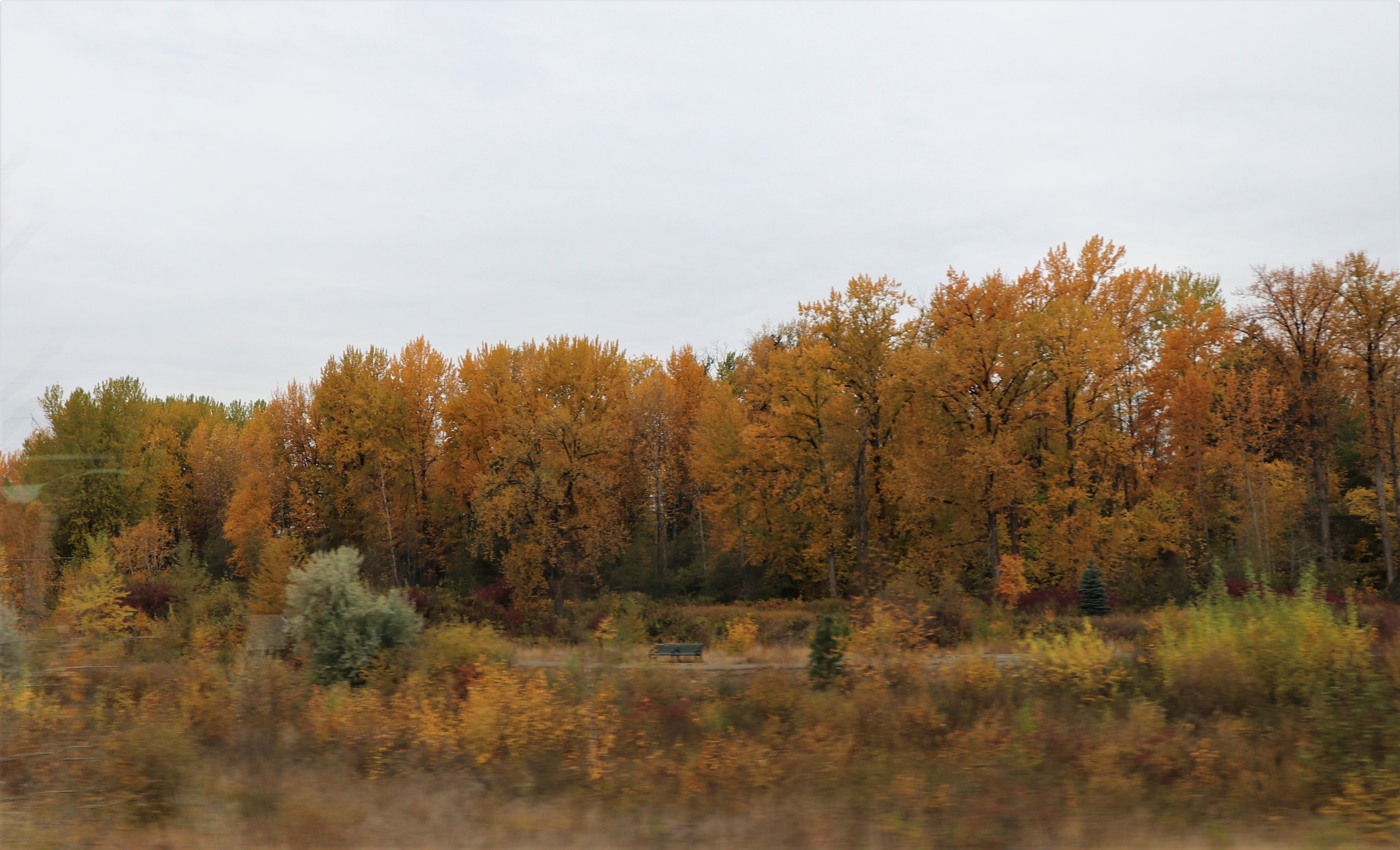
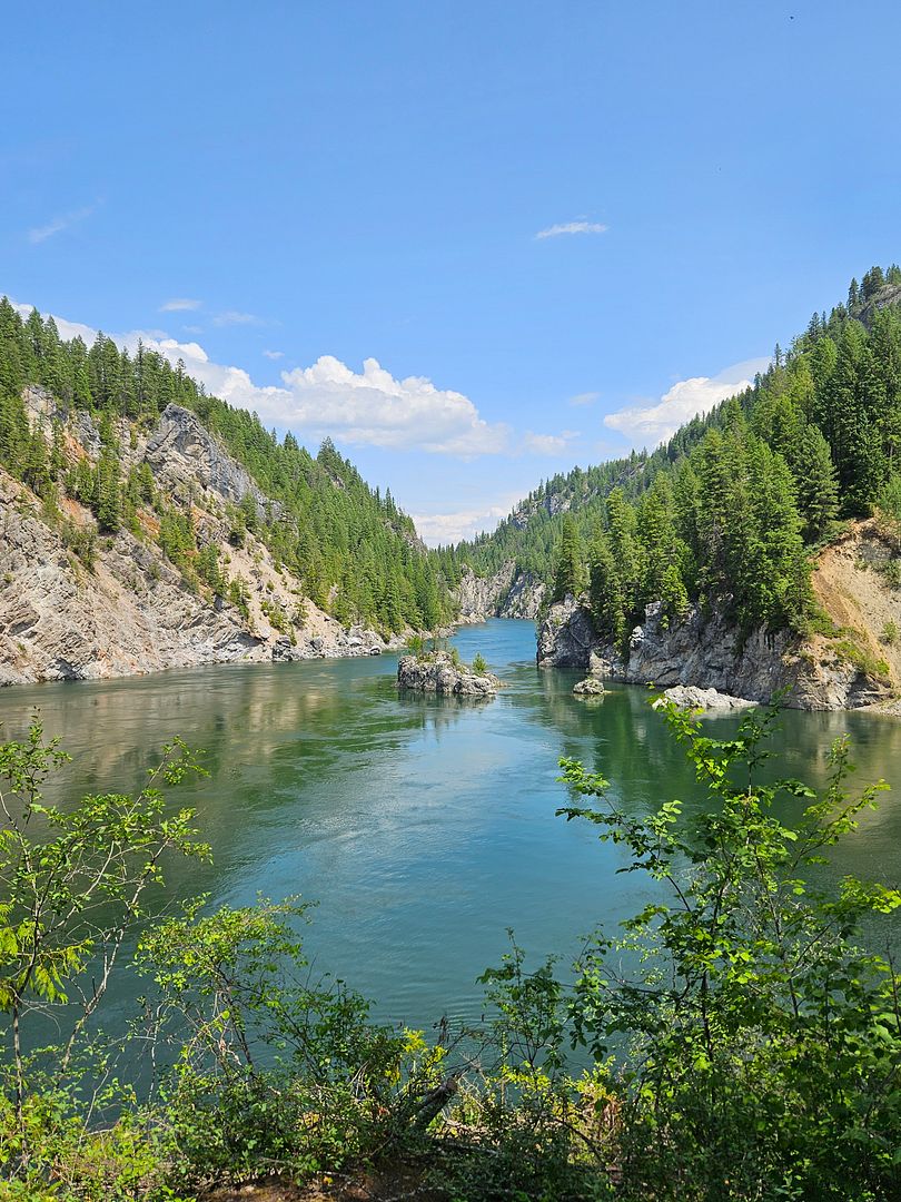
We really enjoyed these beautiful views.
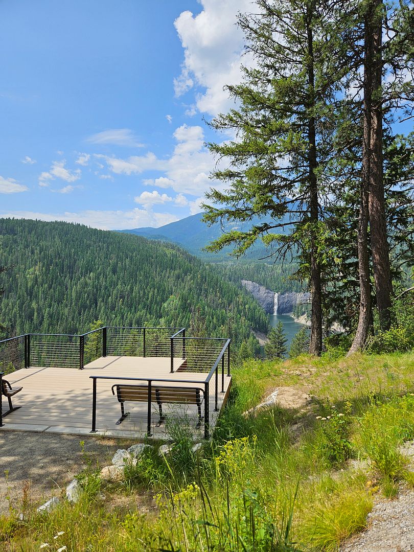
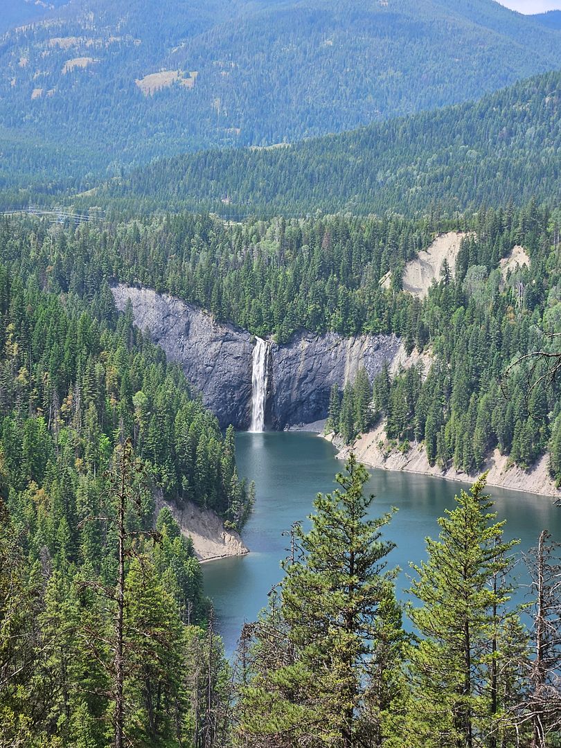
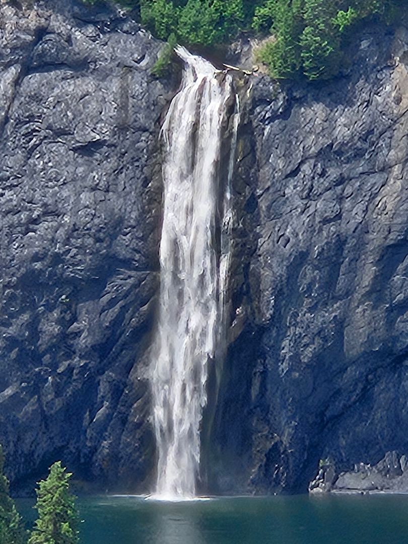
The wind was gusty at the overlook.
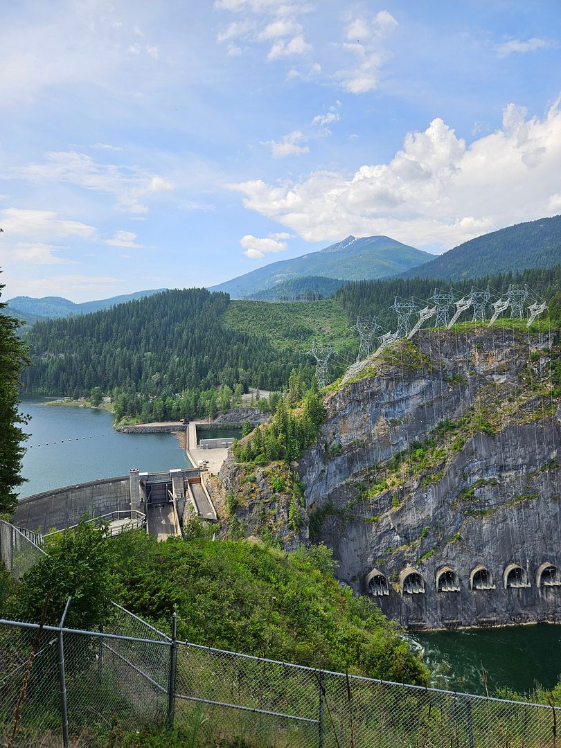
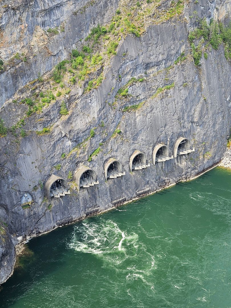
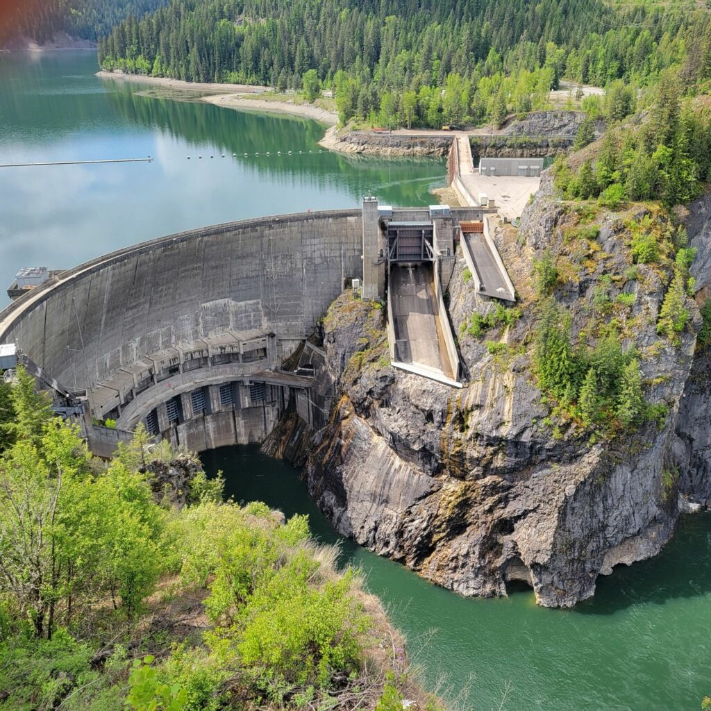
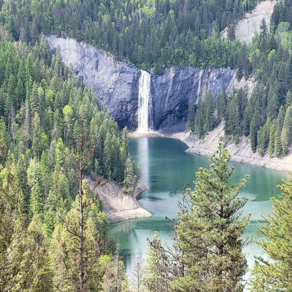
This next photo is from our son, Dan, that inspired our trip. He took this photo in May.
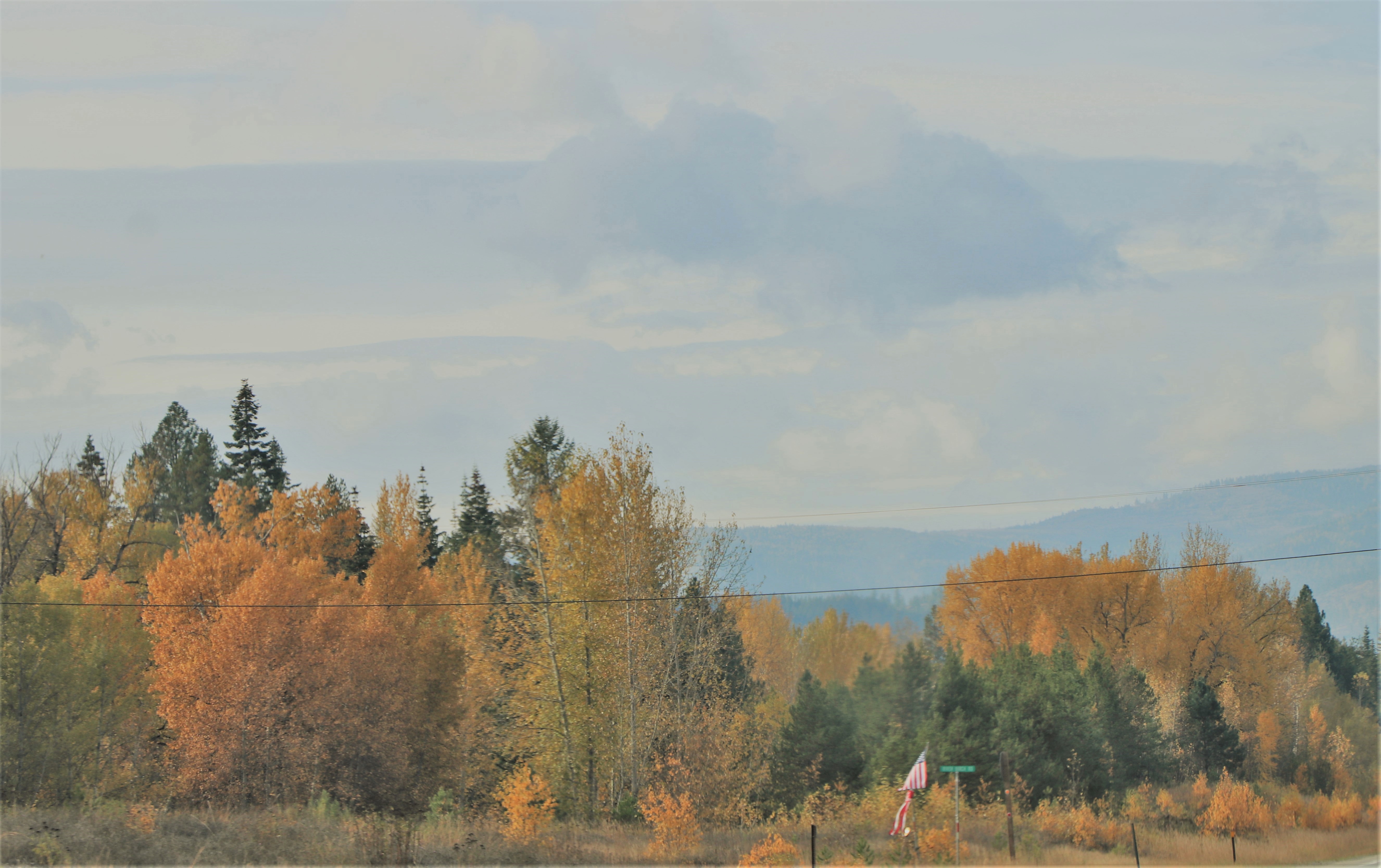
We traveled back the way we came and soon were on highway 31 and headed back south.
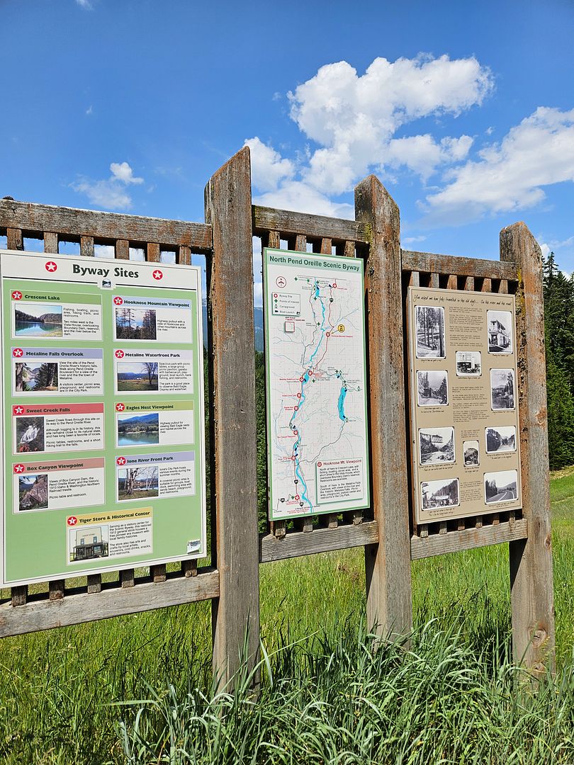
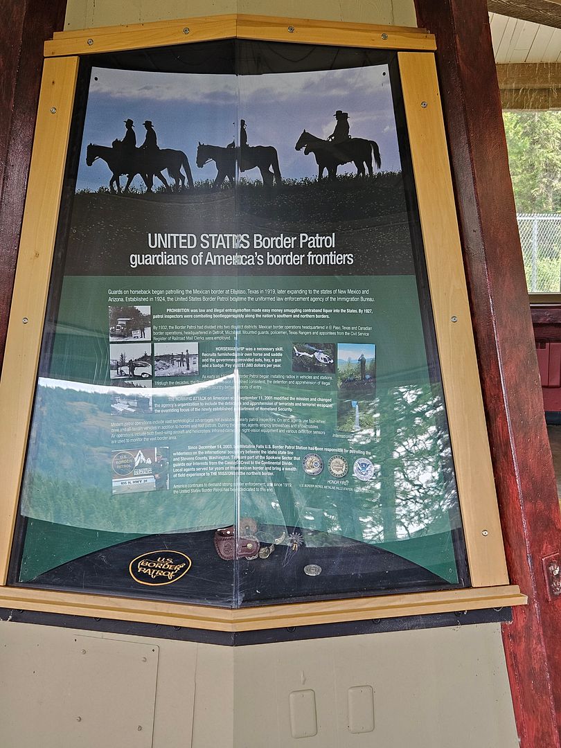
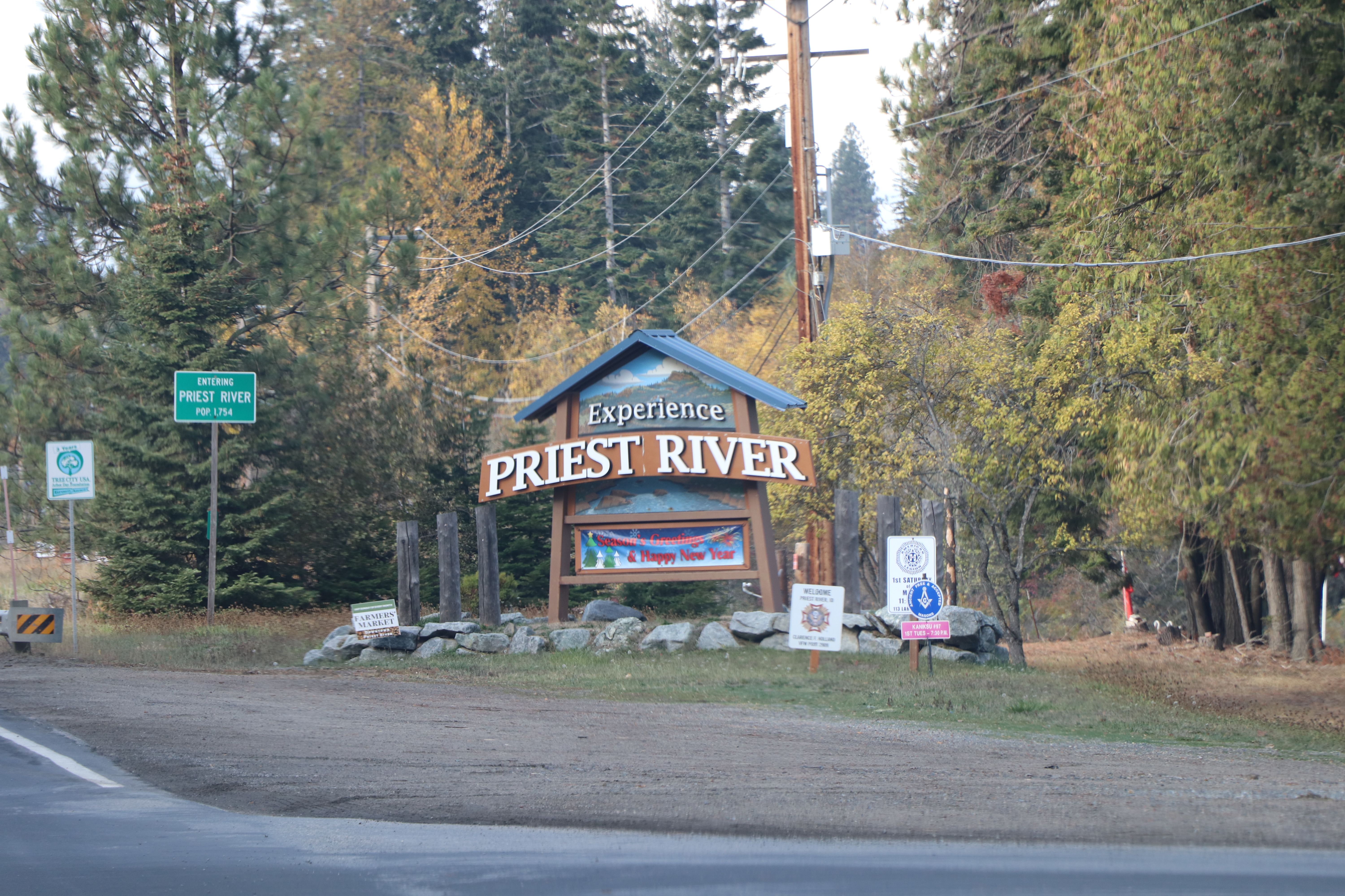
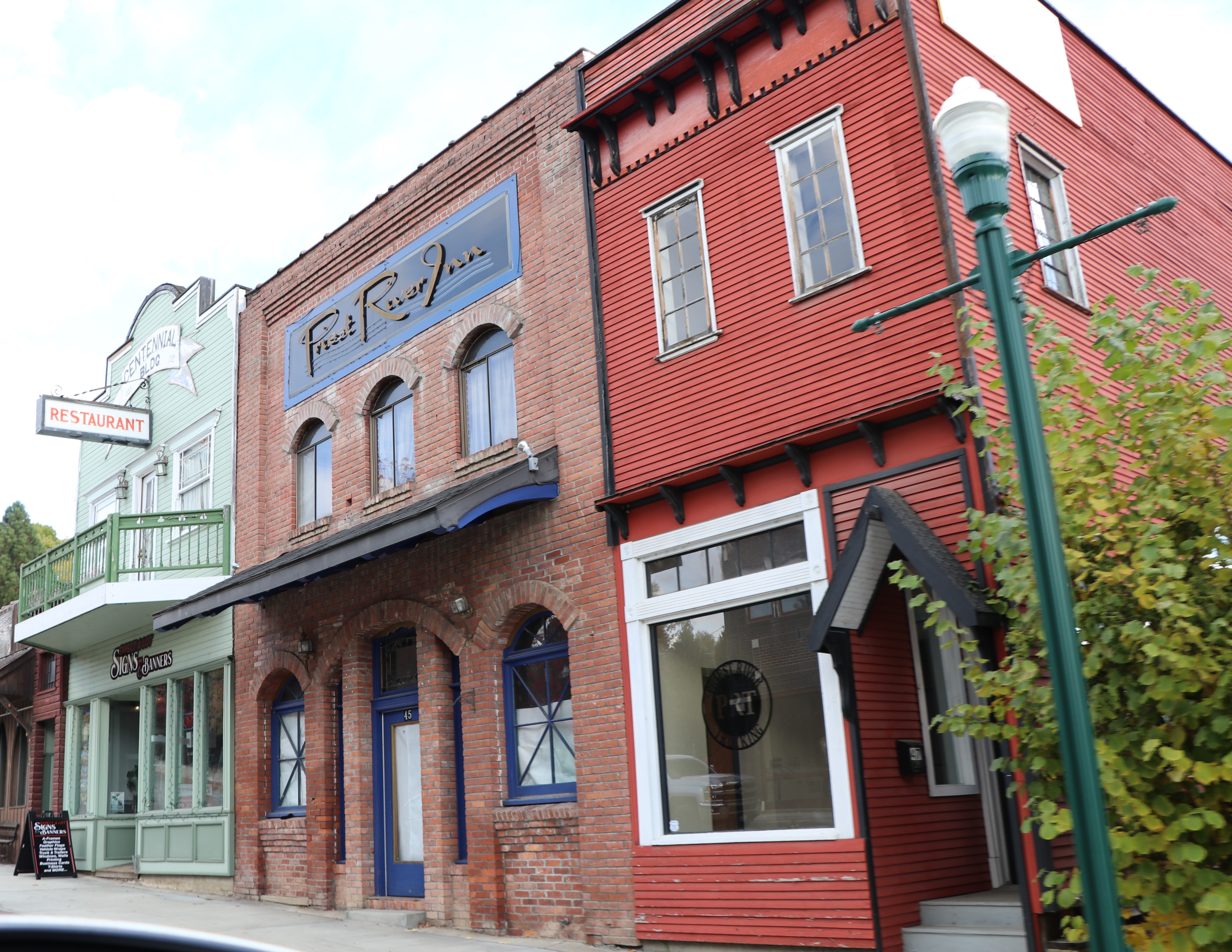
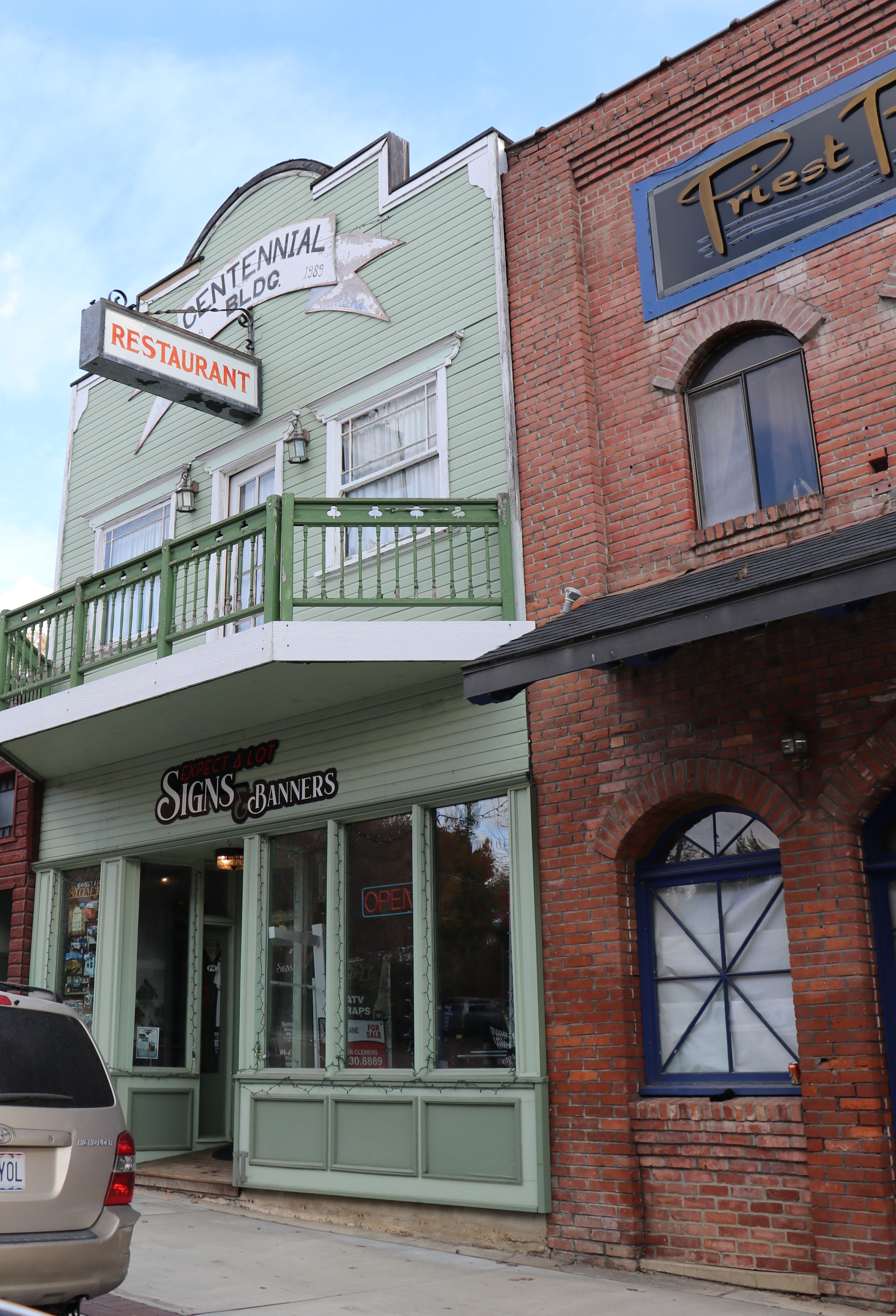
We stopped at this roadside sign after we enjoyed the Falls. It’s a nice map with places to enjoy along the North Pend Oreille Scenic Byway. We met two gals from Florida and were just finishing their drive on the Selkirk International Loop that runs through parts of Idaho, Canada and Washington. We enjoyed a nice conversation. They were hungry and I could wholeheartedly recommend the Farmhouse Cafe in Metaline Falls. They were the only two other travelers we saw at any of our stops!
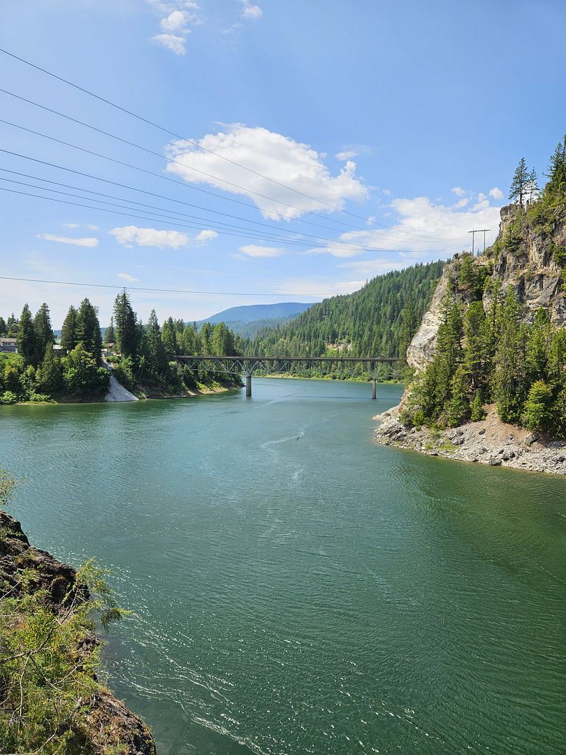
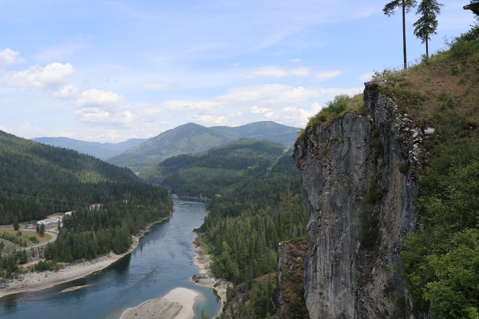
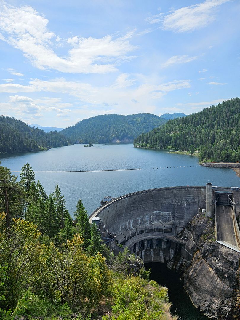
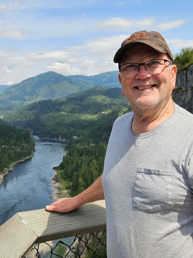
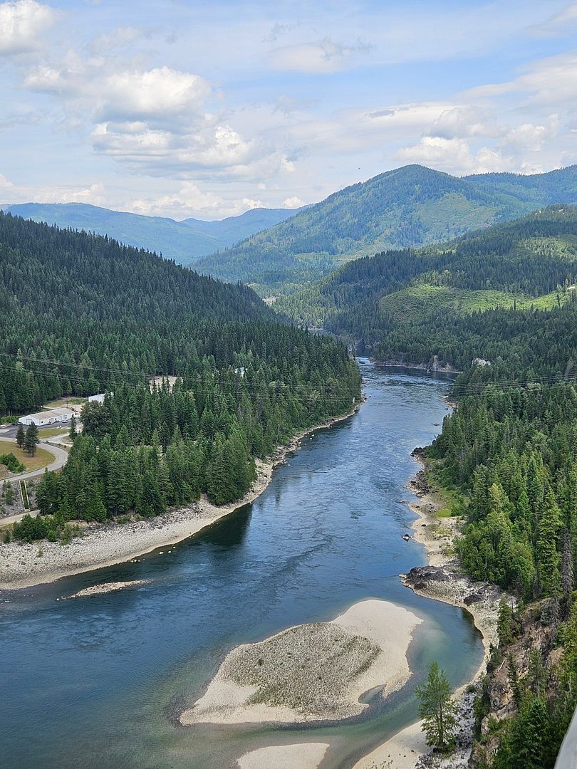
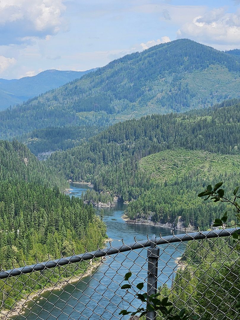
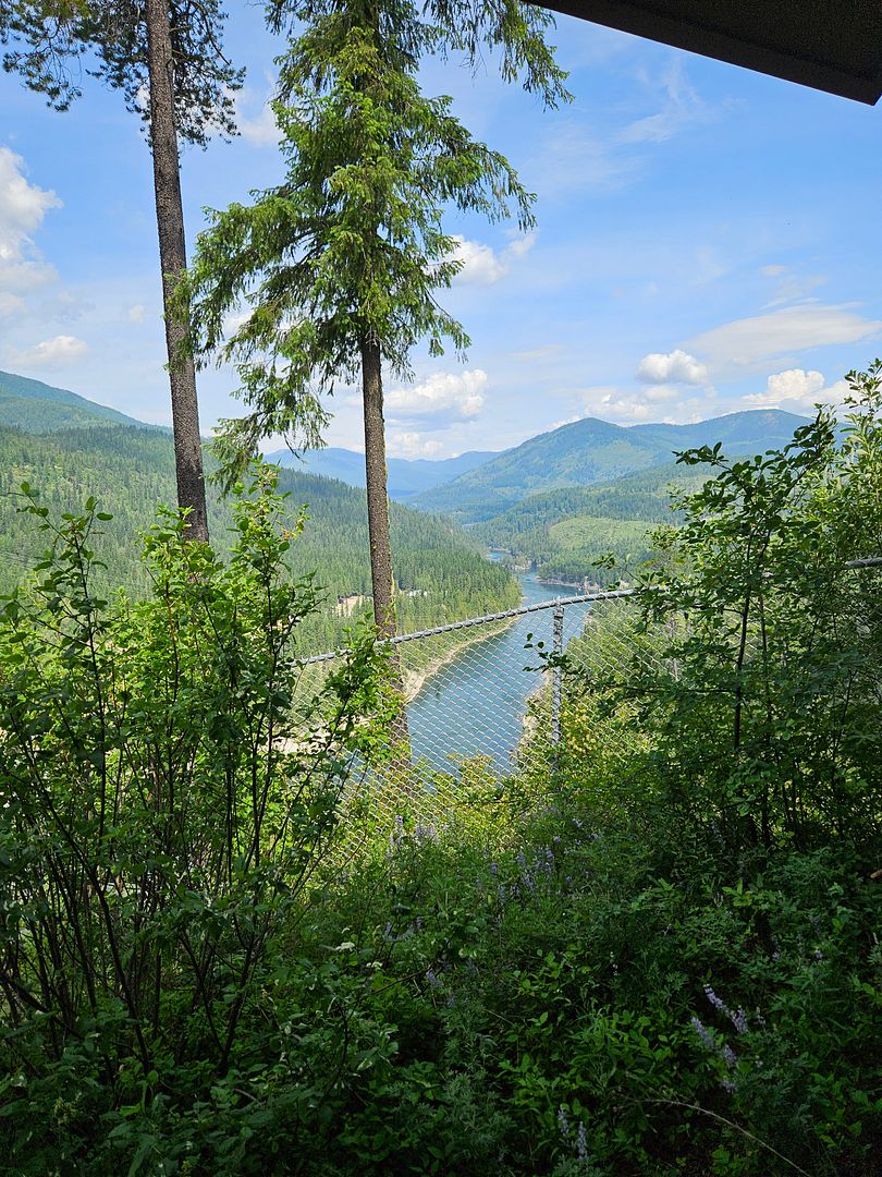
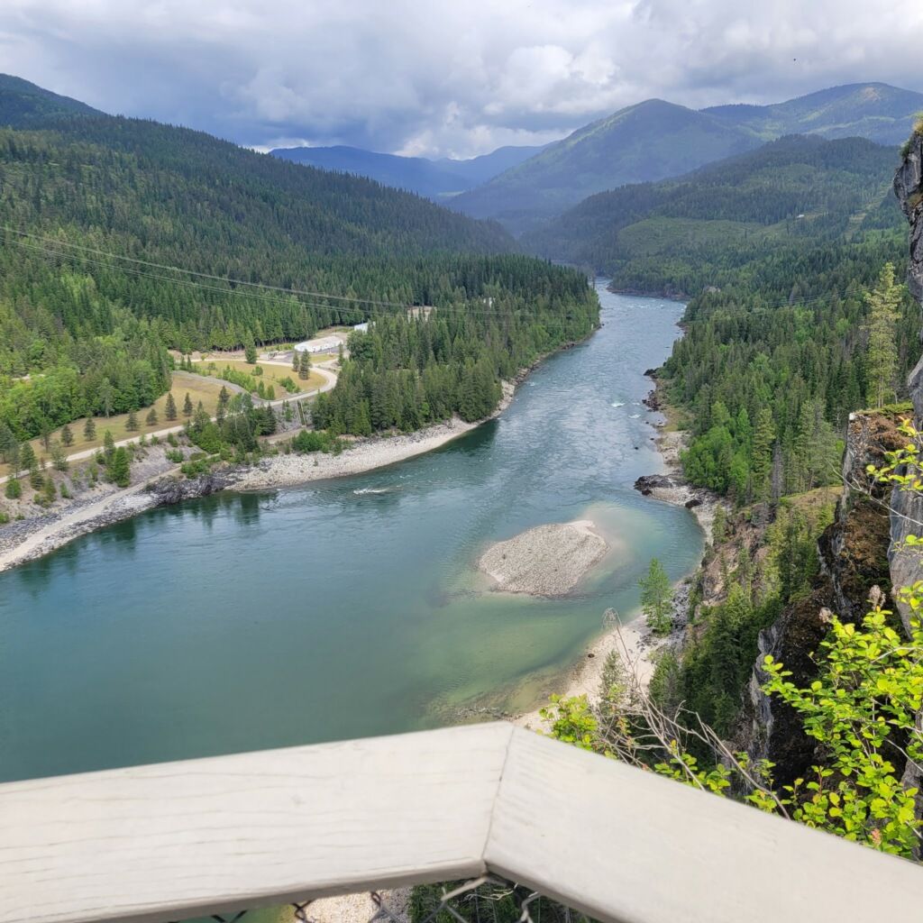
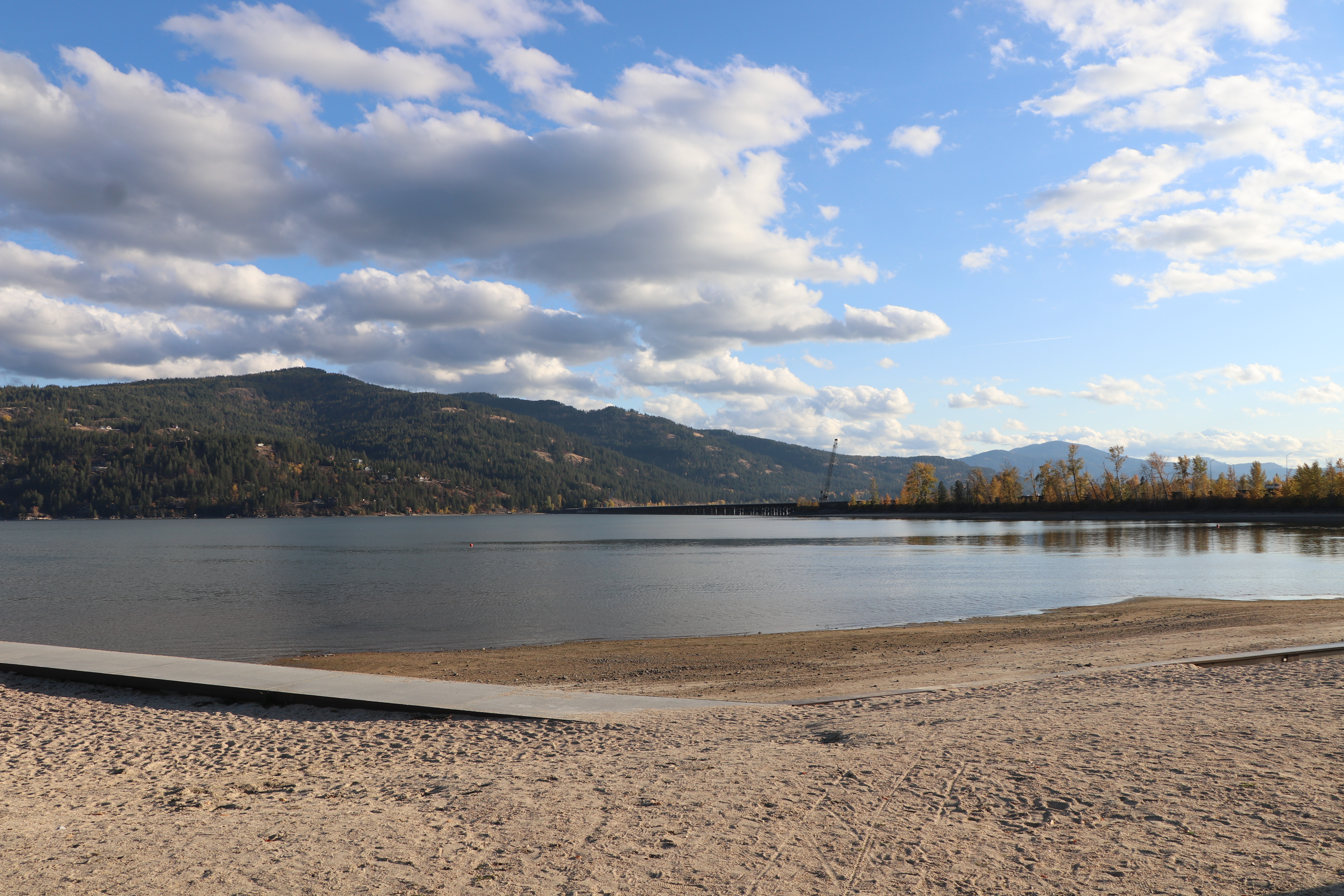
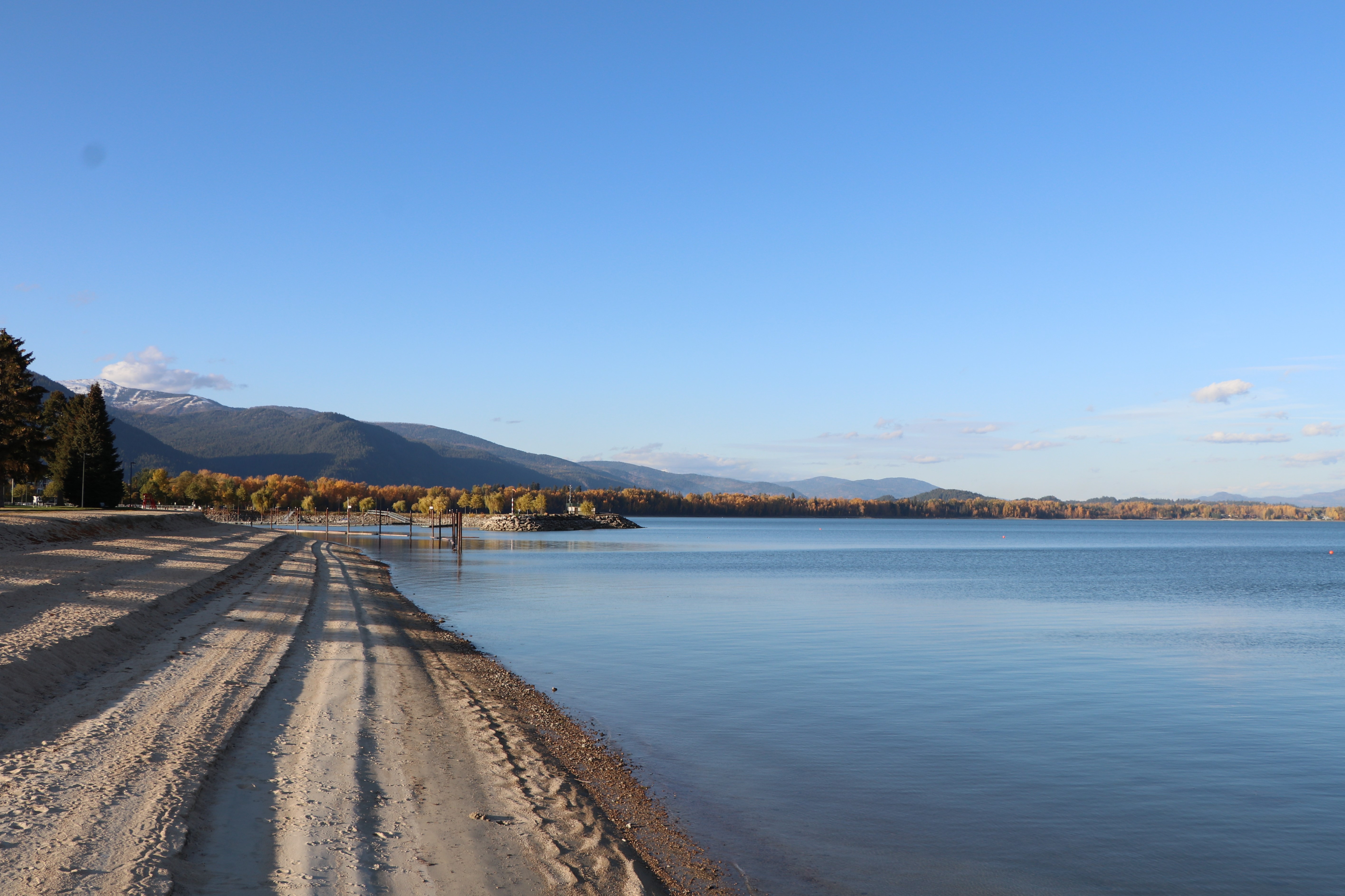
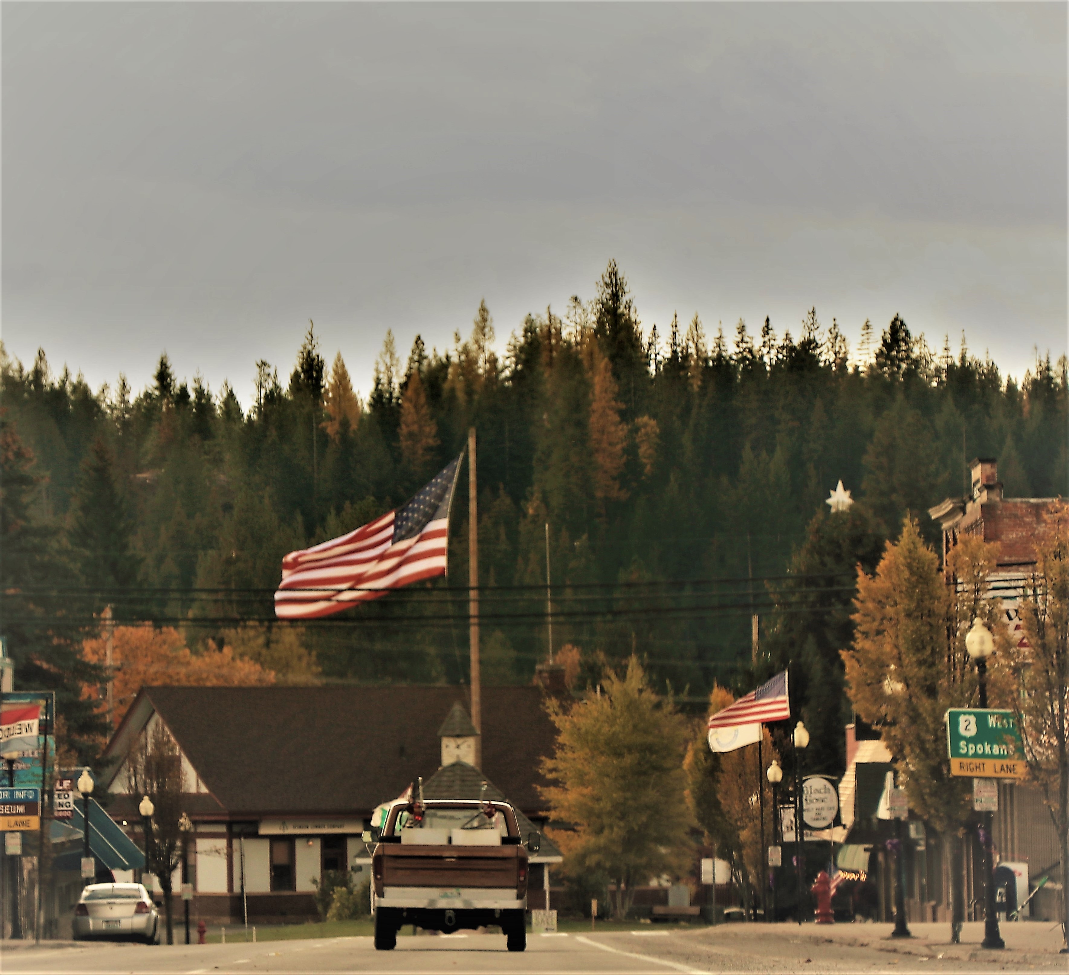
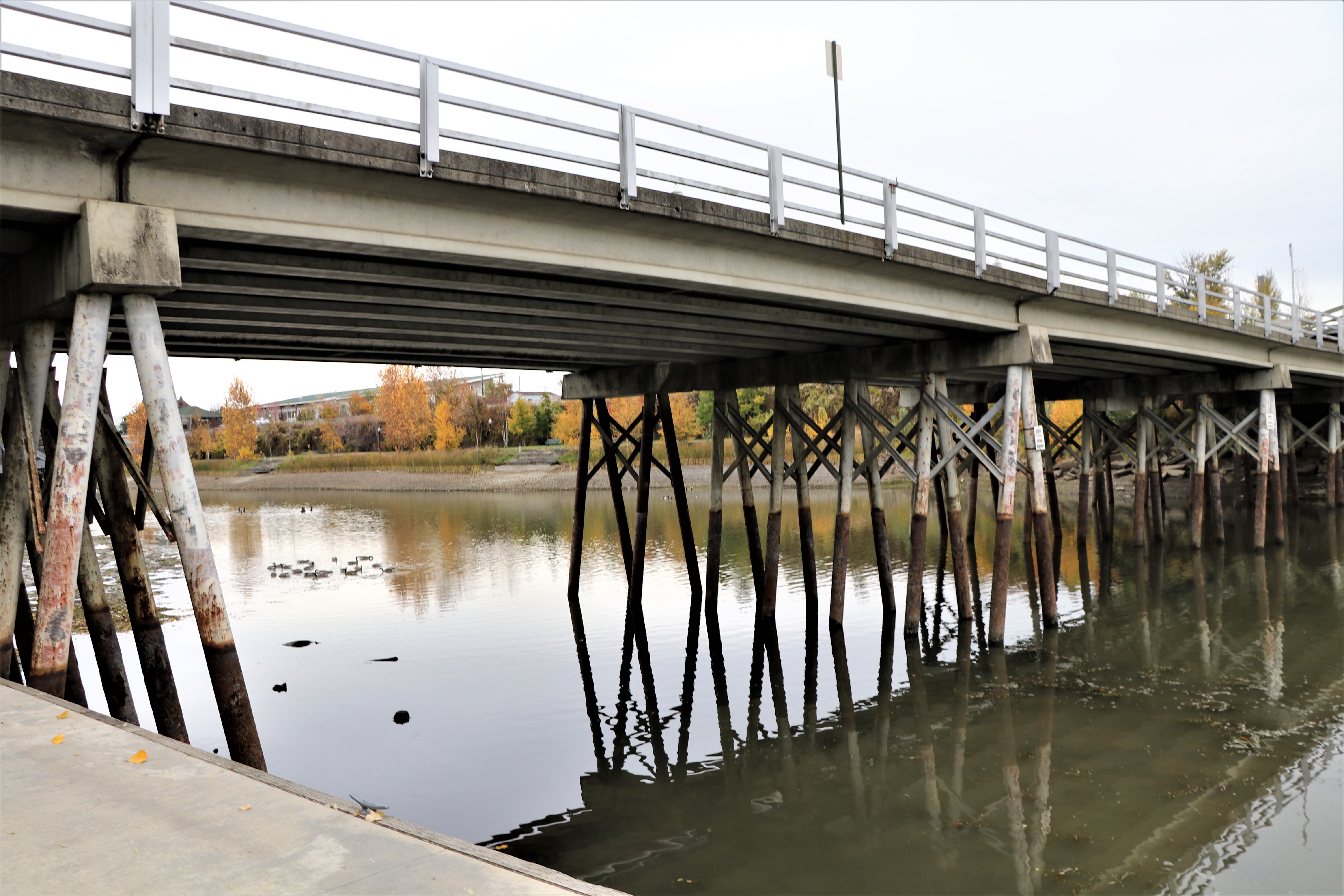
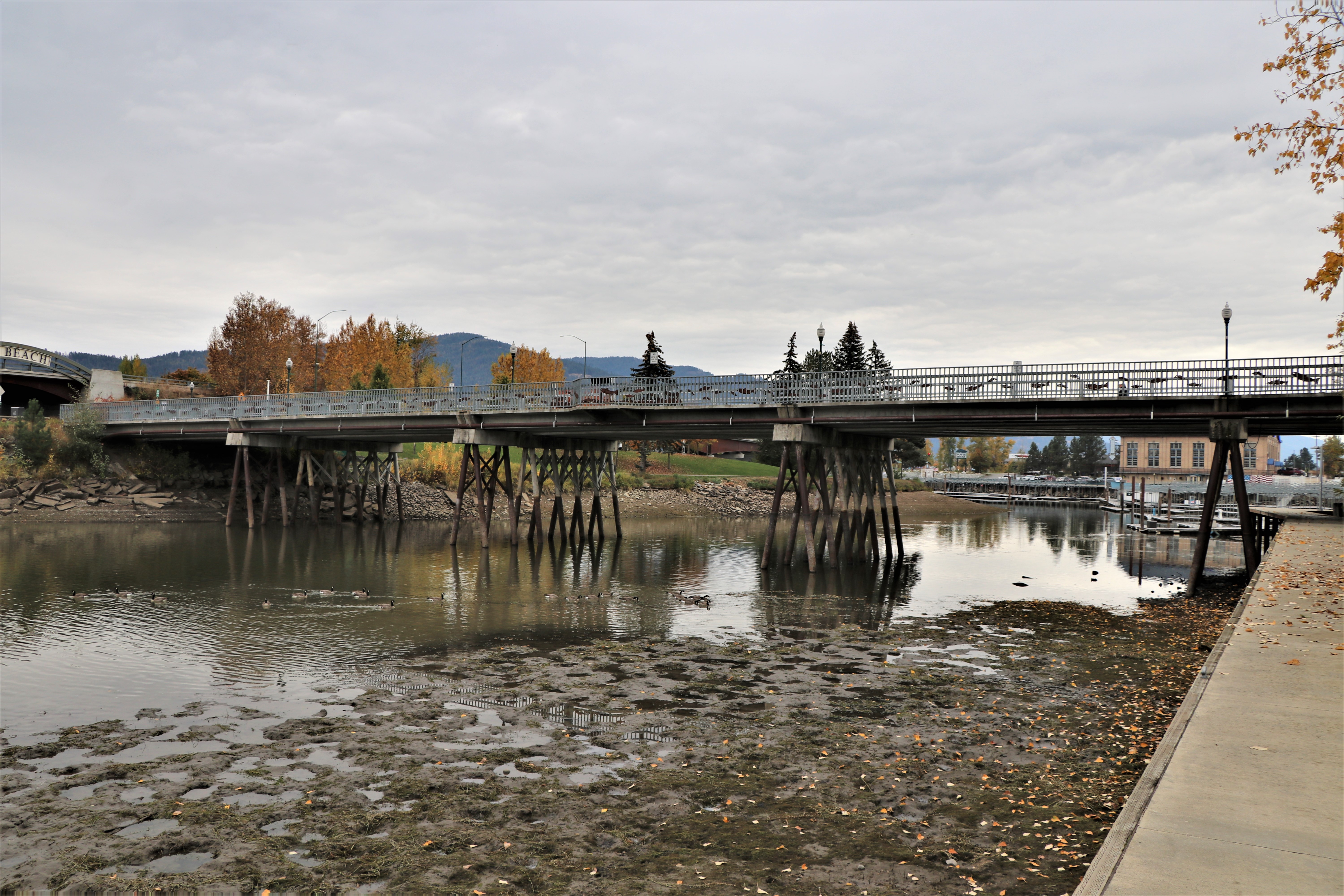
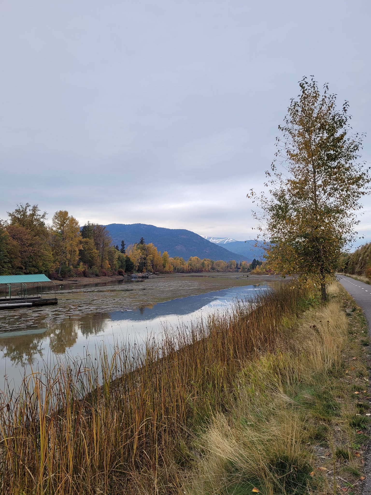
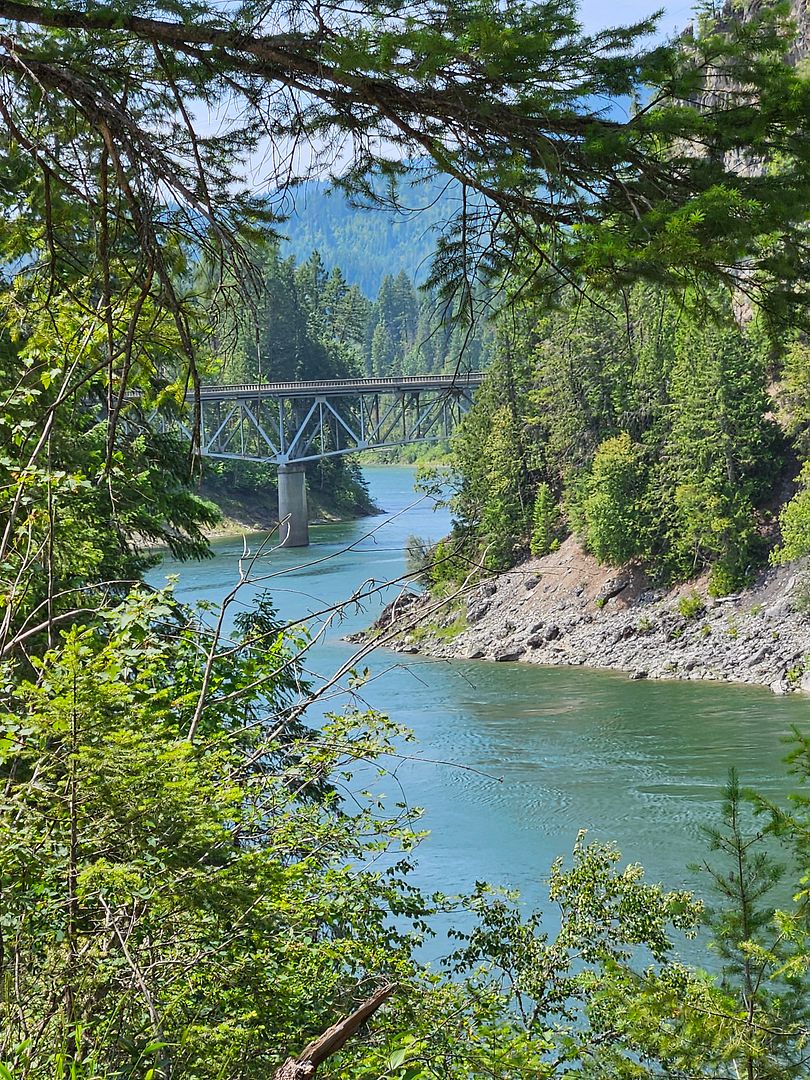
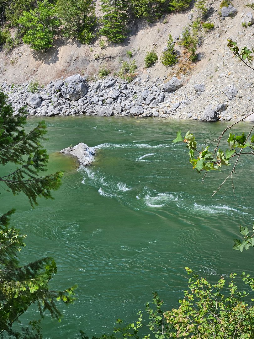
Before we hit the road to go home we made this last stop at another overlook of the Pend Oreille River very close to the downtown of Metaline Falls with a good view of the bridge we crossed at the beginning of our trip. This was another well maintained spot with restrooms, parking and lovely trails along the river.
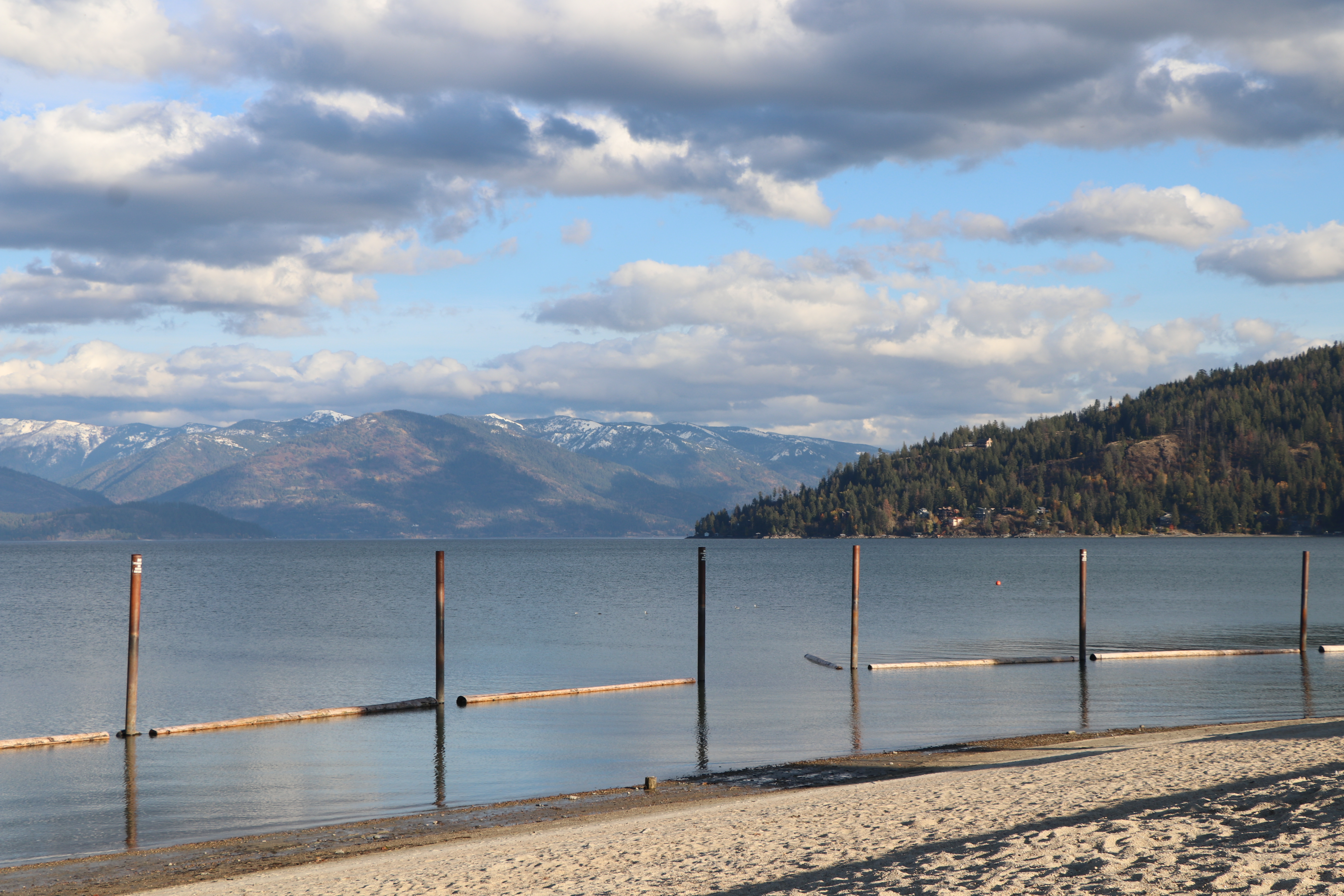
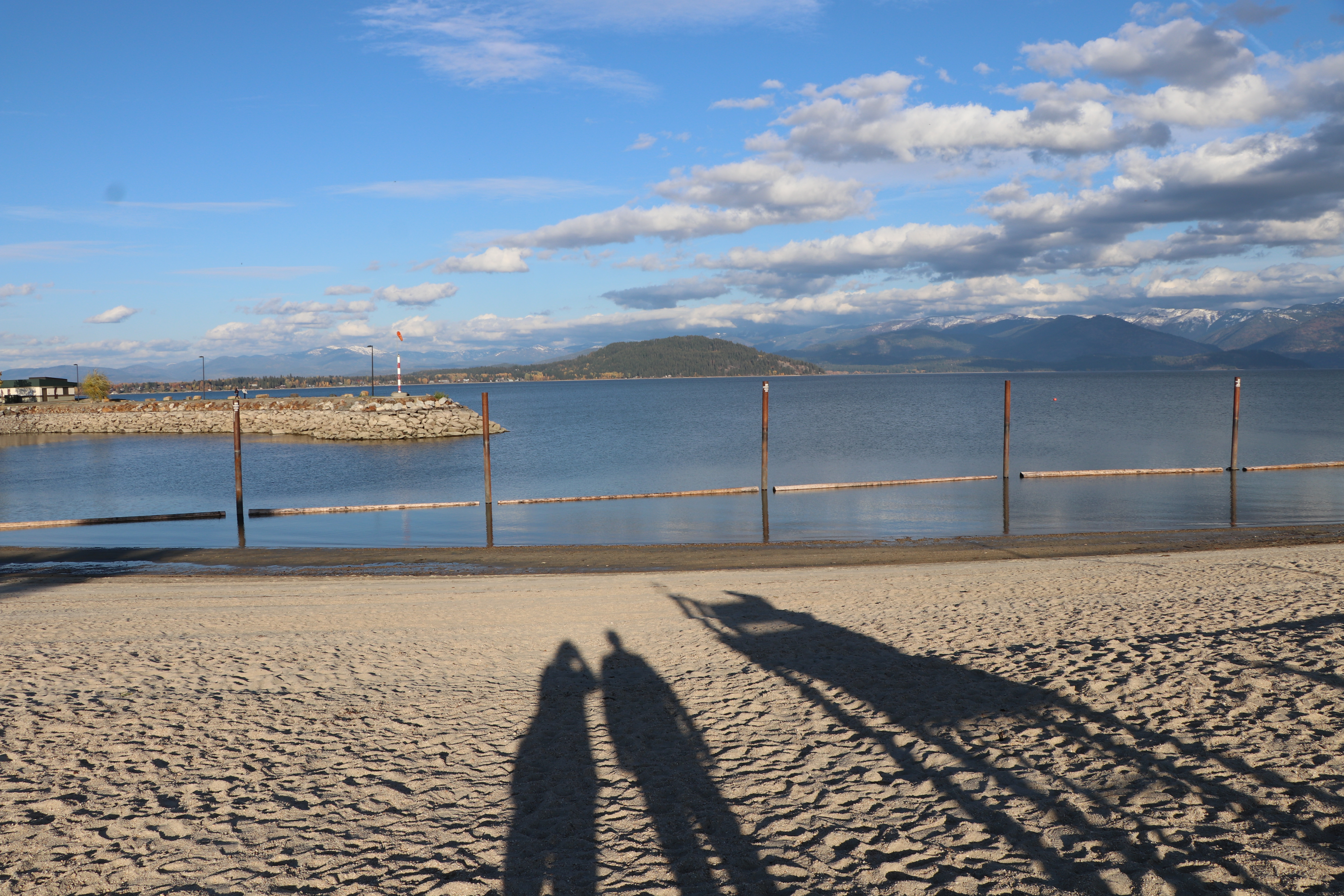
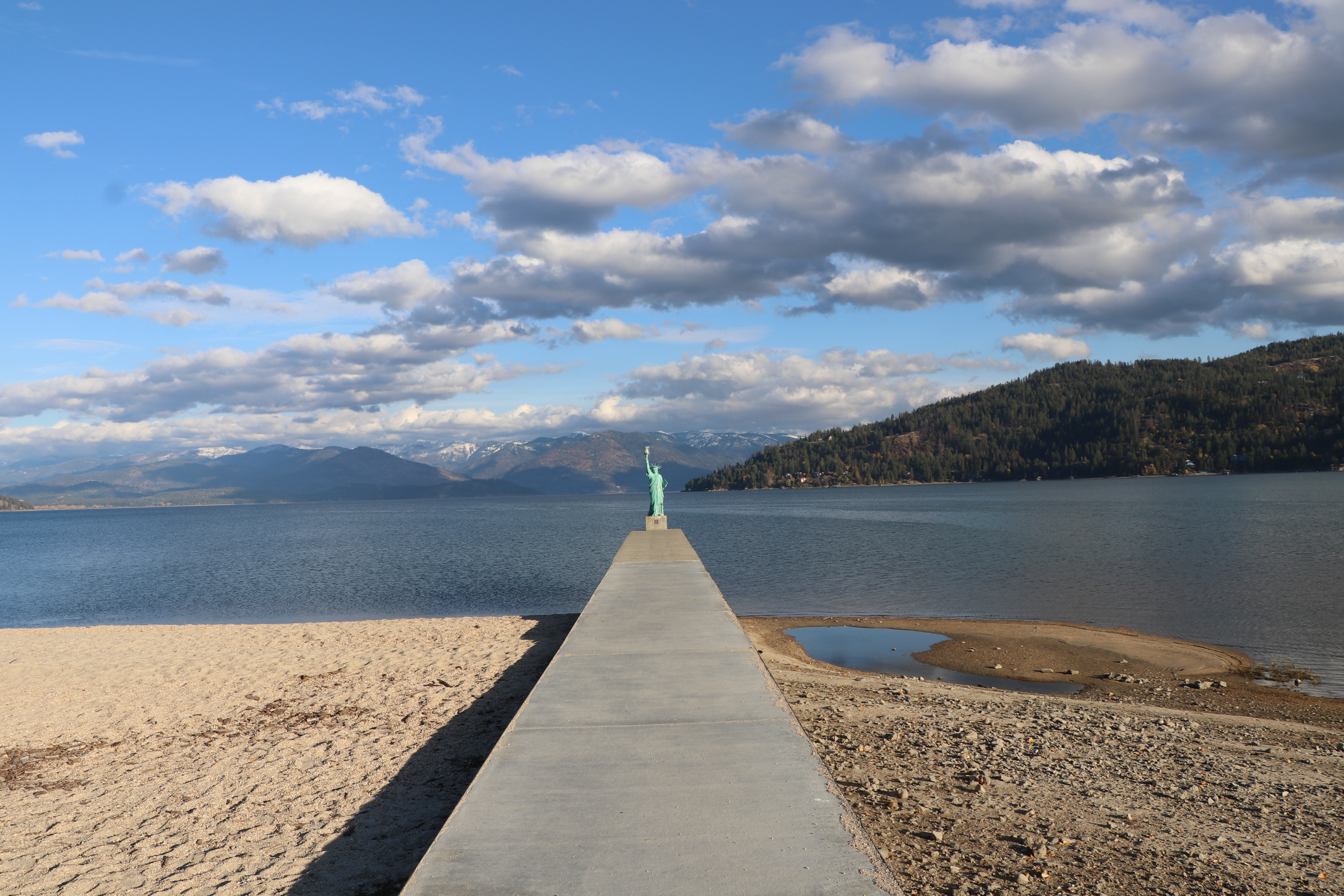
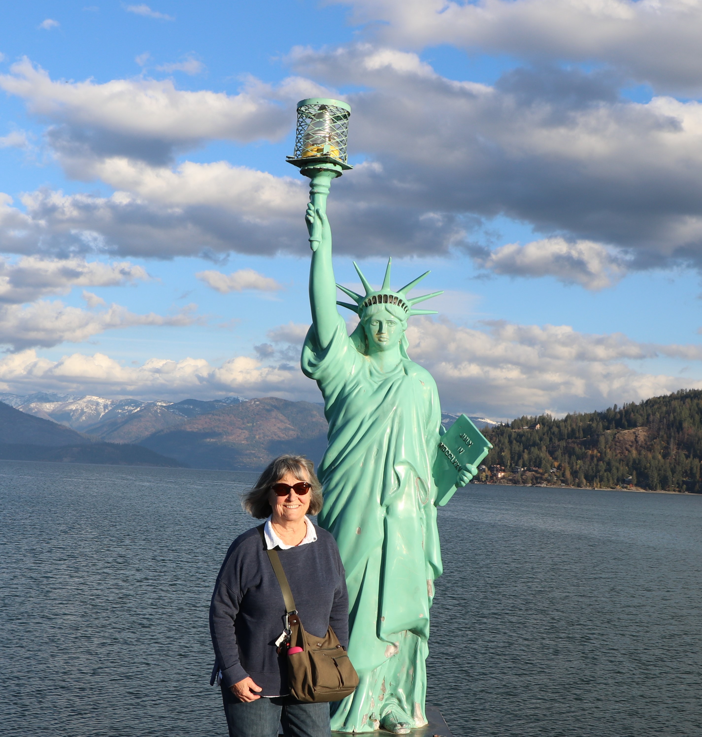
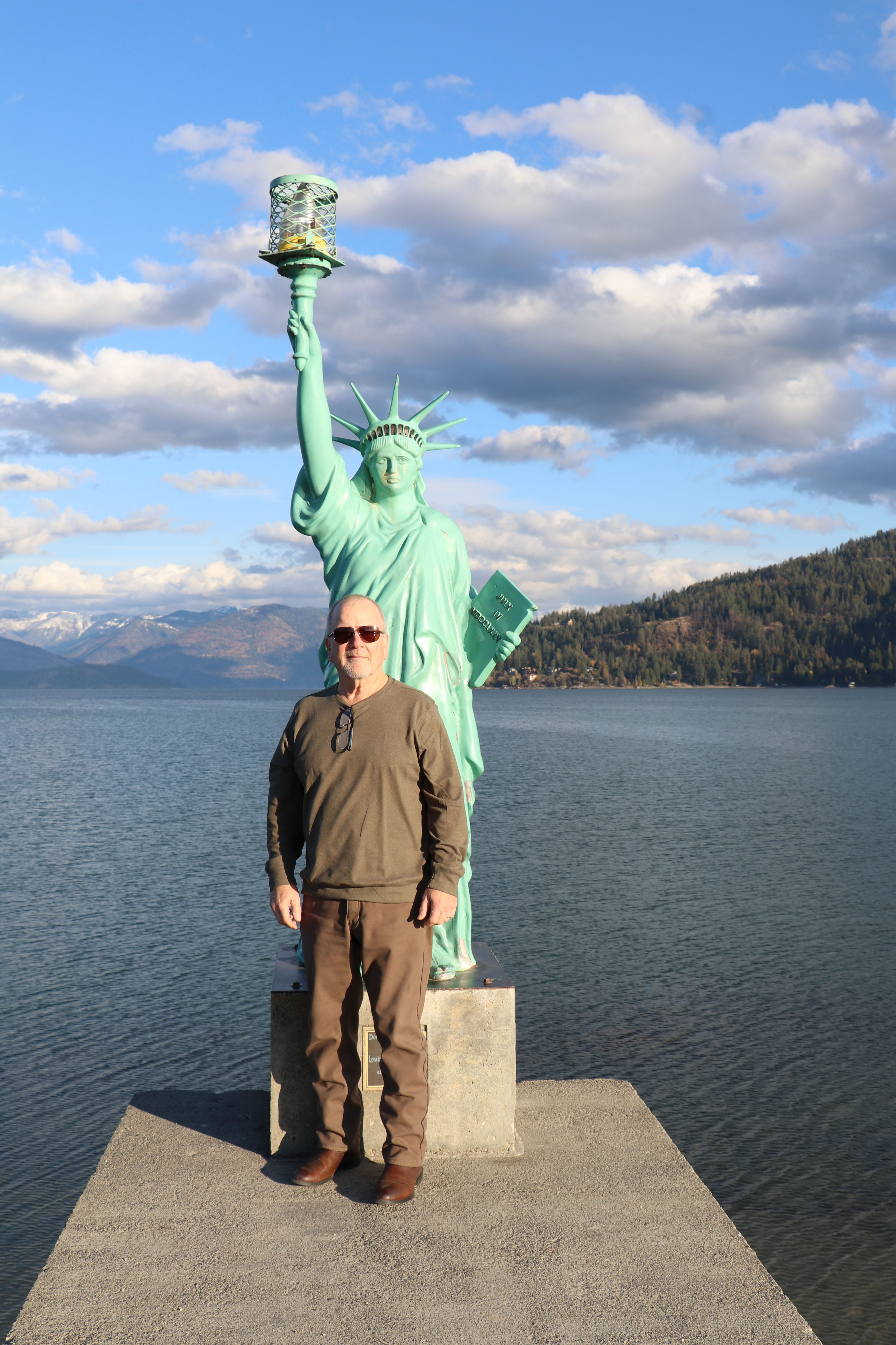
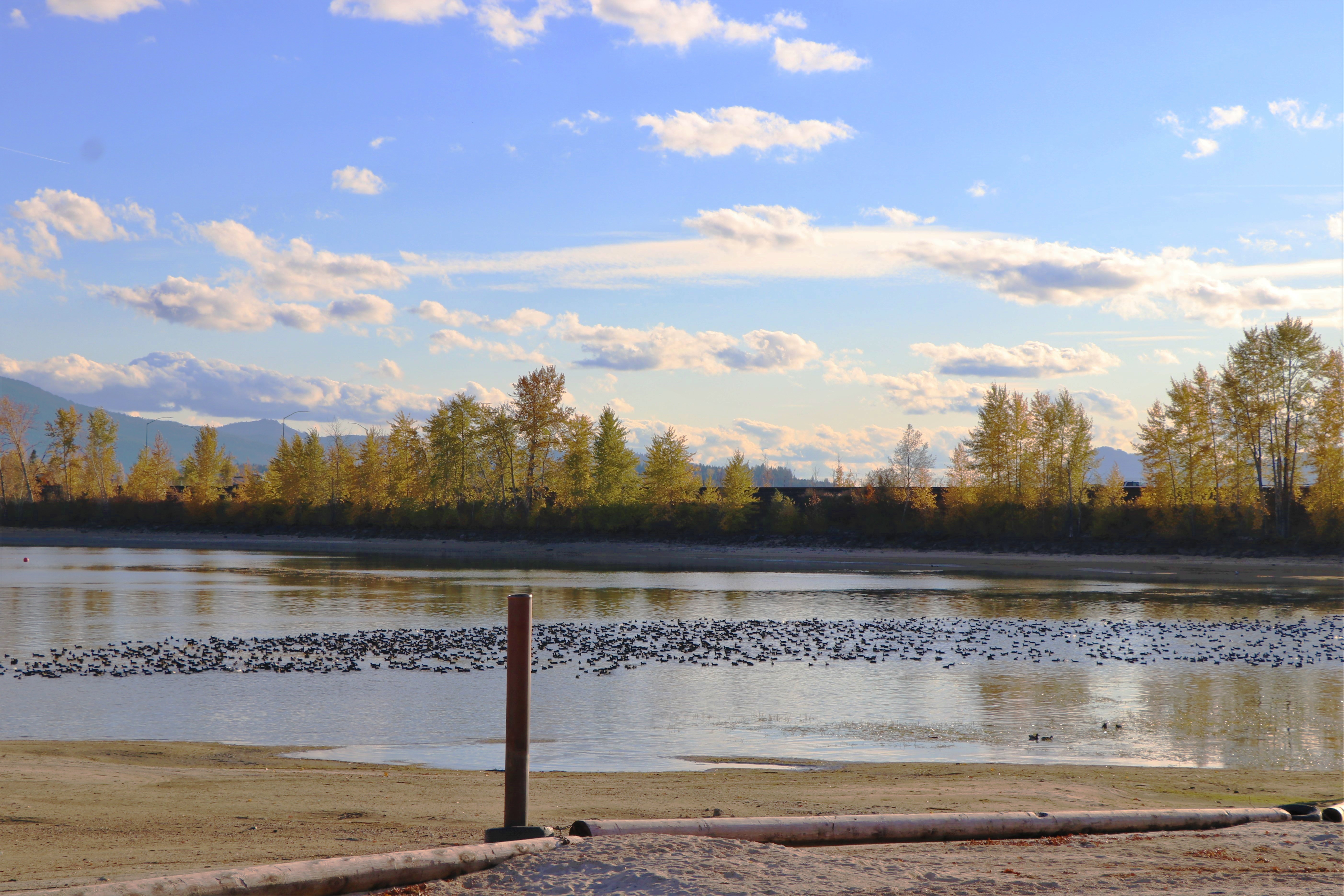
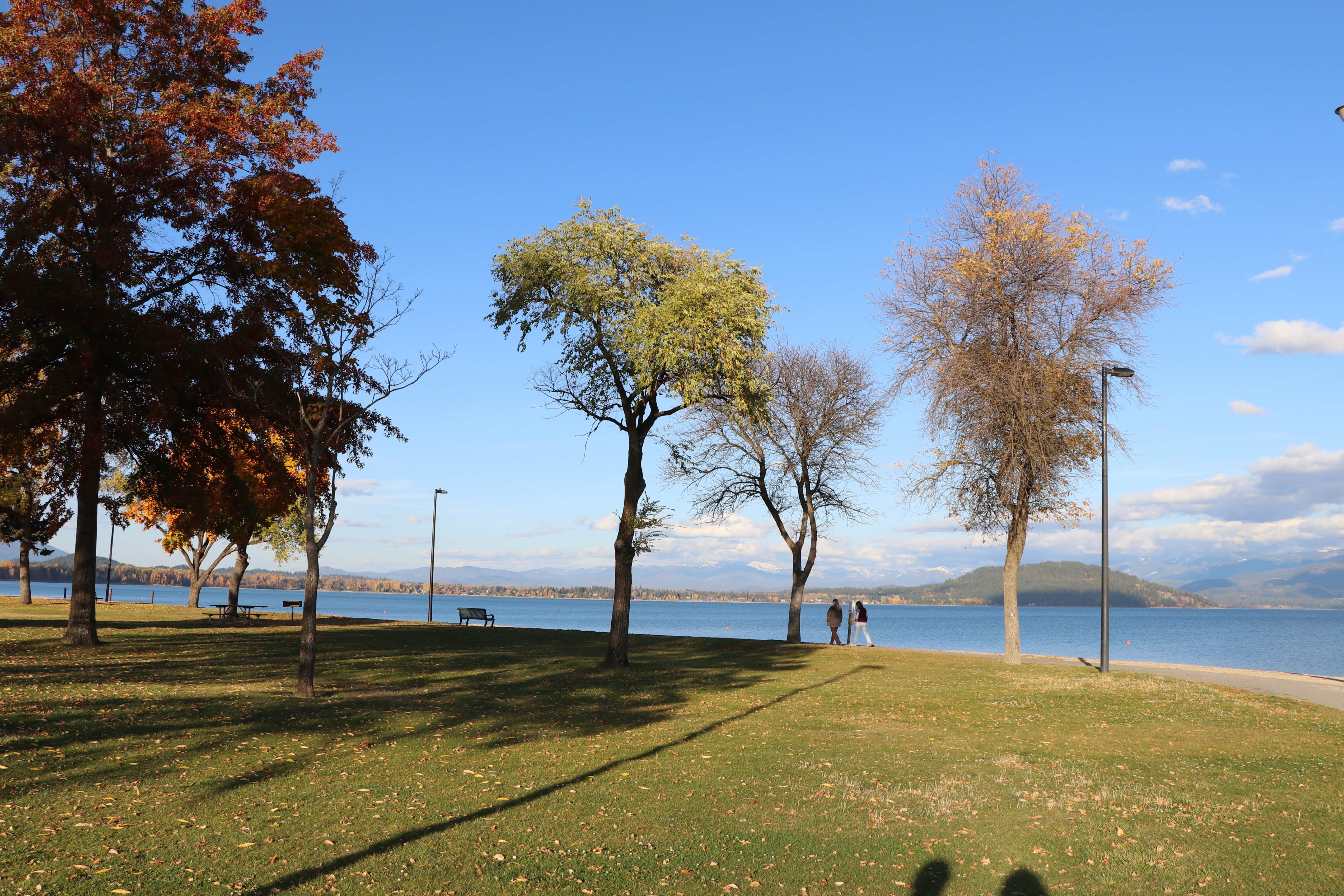
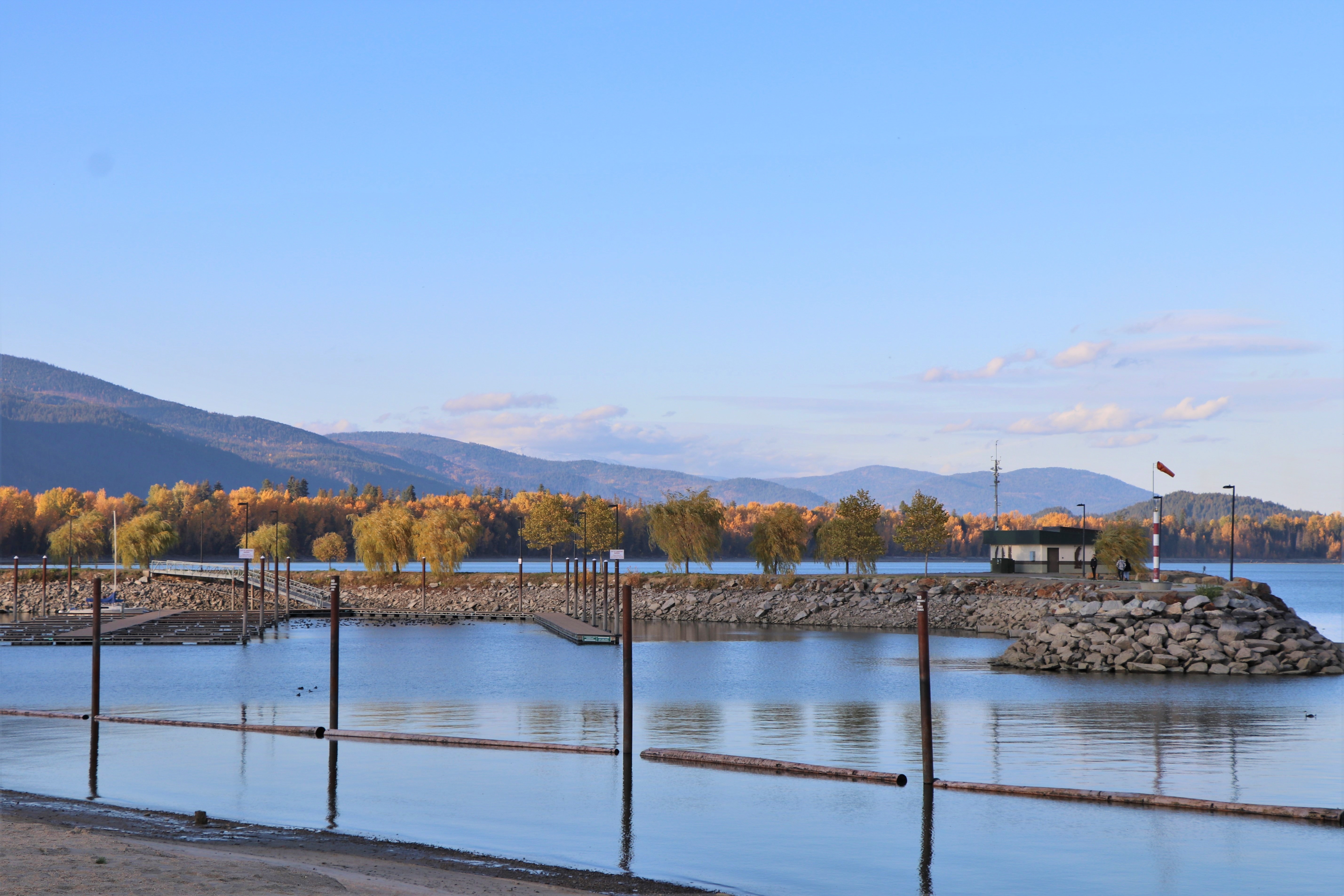
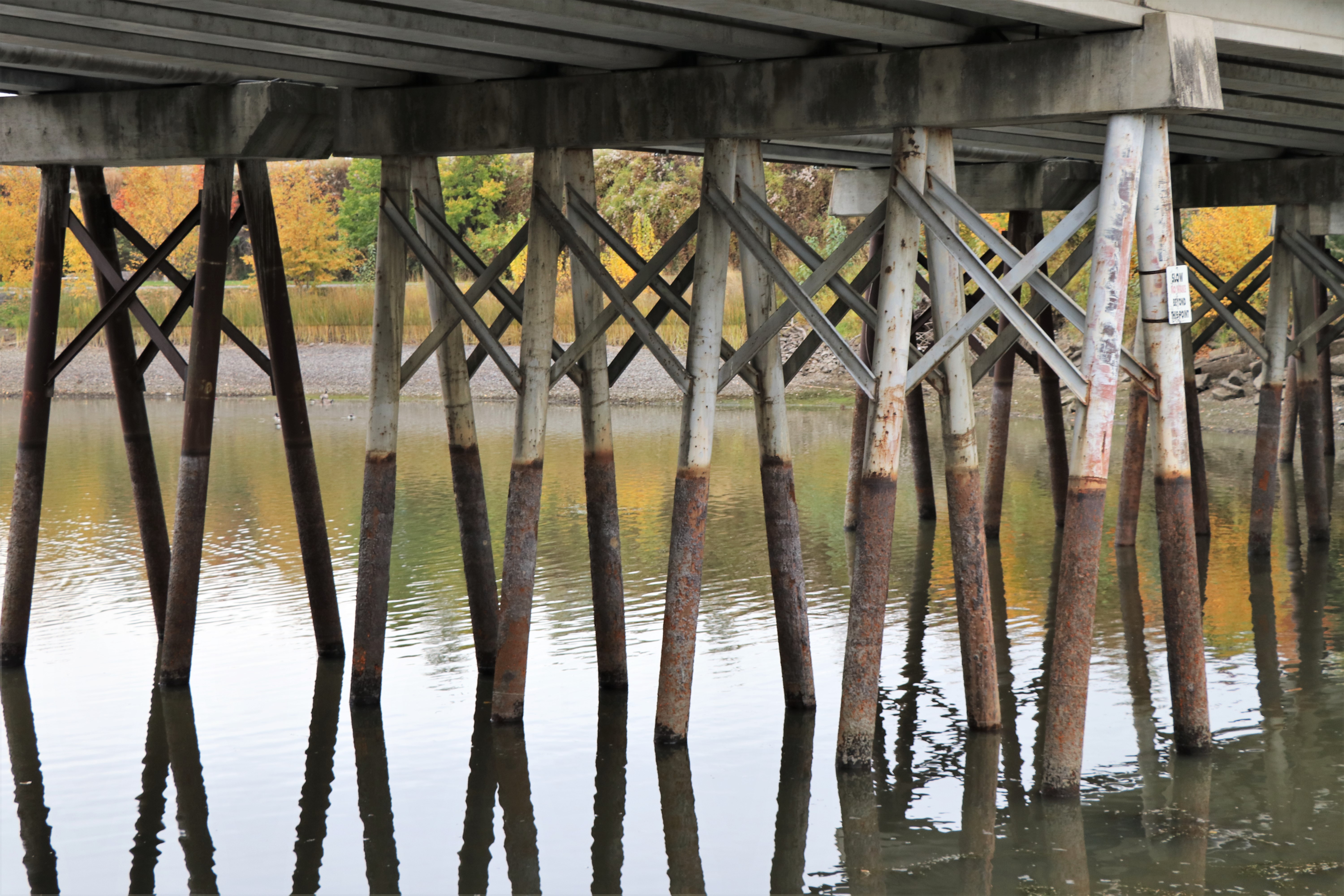
The Pend Oreille River is a tributary of the Columbia River, approximately 130 miles long, in northern Idaho and northeastern Washington in the United States, as well as southeastern British Columbia in Canada. In its passage through British Columbia its name is spelled Pend-d’Oreille River.
This was a great day from beginning to end and we were thankful for safe travels and beautiful scenery to see and praise God for.